

34
of comparison of mineral composition of the rocks known to exist in the region. The
geological map of the Wholthat Mountains, the area located at higher elevations
south of Schirmacher Hills (Ravindra et al. 1989, 1994; Ravindra and Pandit 2000;
Kaul et al. 1991 among others) helped in identifying the parent source rocks. The
vertical sections available in the valleys formed by fluvio-glacial activity, and the
sub-surface sections exposed in the pits made for driving stilts for the foundation of
the Indian Antarctic Station (Maitri) under construction during 1987–88, gave an
opportunity to scan through several depth sections of gravel, sand, silt, clay etc.
Geochemical analyses of samples along with examination of quartz grains under
Scanning Electronic Microscope (SEM) were also done.
4 Sedimentological Analyses
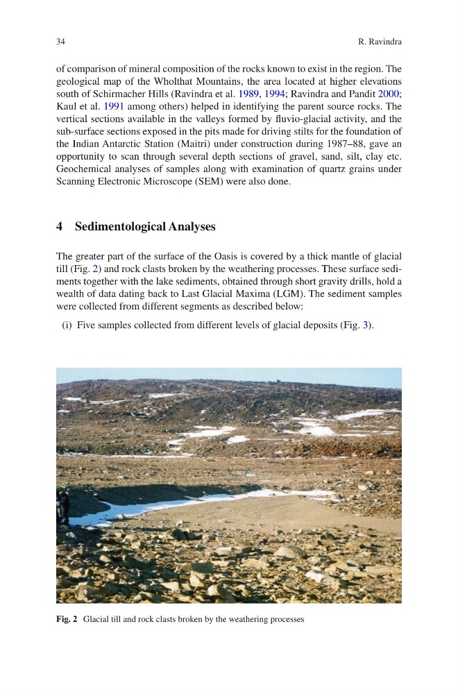
The greater part of the surface of the Oasis is covered by a thick mantle of glacial
till (Fig. 2) and rock clasts broken by the weathering processes. These surface sediments together with the lake sediments, obtained through short gravity drills, hold a
wealth of data dating back to Last Glacial Maxima (LGM). The sediment samples
were collected from different segments as described below:
(i) Five samples collected from different levels of glacial deposits (Fig. 3).
Fig. 2 Glacial till and rock clasts broken by the weathering processes
R. Ravindra
of comparison of mineral composition of the rocks known to exist in the region. The
geological map of the Wholthat Mountains, the area located at higher elevations
south of Schirmacher Hills (Ravindra et al. 1989, 1994; Ravindra and Pandit 2000;
Kaul et al. 1991 among others) helped in identifying the parent source rocks. The
vertical sections available in the valleys formed by fluvio-glacial activity, and the
sub-surface sections exposed in the pits made for driving stilts for the foundation of
the Indian Antarctic Station (Maitri) under construction during 1987–88, gave an
opportunity to scan through several depth sections of gravel, sand, silt, clay etc.
Geochemical analyses of samples along with examination of quartz grains under
Scanning Electronic Microscope (SEM) were also done.
4 Sedimentological Analyses
The greater part of the surface of the Oasis is covered by a thick mantle of glacial
till (Fig. 2) and rock clasts broken by the weathering processes. These surface sediments together with the lake sediments, obtained through short gravity drills, hold a
wealth of data dating back to Last Glacial Maxima (LGM). The sediment samples
were collected from different segments as described below:
(i) Five samples collected from different levels of glacial deposits (Fig. 3).
Fig. 2 Glacial till and rock clasts broken by the weathering processes
R. Ravindra