

150
F. Morar et al.
average and maximal values of the physicochemical and biological indicators for
three sections of the Mure¸ s water body: Tîrgu Mures , , Ungheni/Mures , and Iernut.
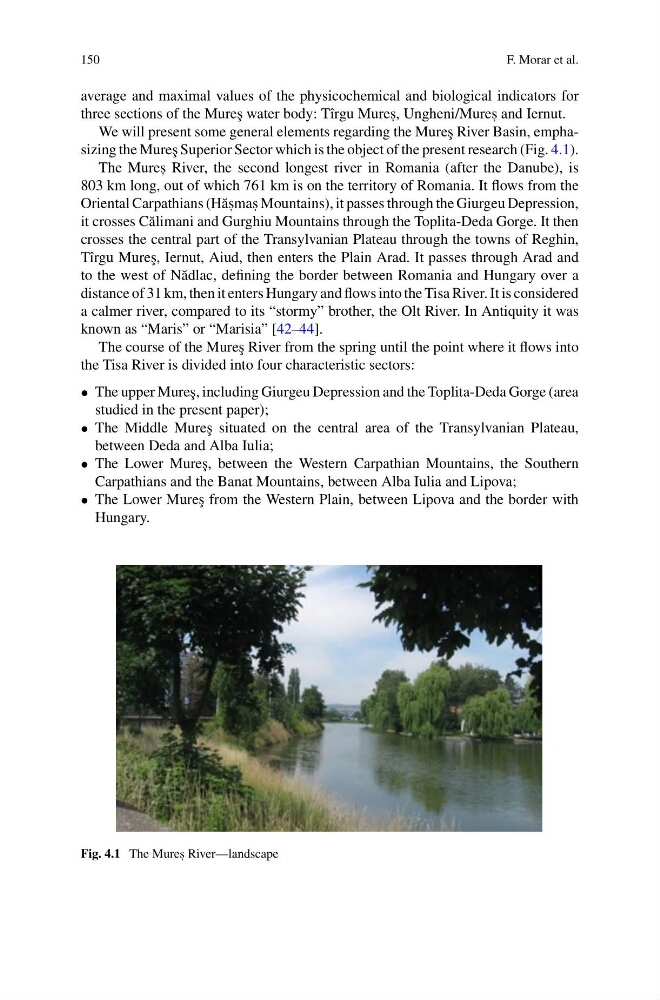
We will present some general elements regarding the Mure¸ s River Basin, emphasizing the Mure¸ s Superior Sector which is the object of the present research (Fig. 4.1).
The Mures , River, the second longest river in Romania (after the Danube), is
803 km long, out of which 761 km is on the territory of Romania. It flows from the
Oriental Carpathians (H˘ as , mas , Mountains), it passes through the Giurgeu Depression,
it crosses C˘ alimani and Gurghiu Mountains through the Toplita-Deda Gorge. It then
crosses the central part of the Transylvanian Plateau through the towns of Reghin,
Tîrgu Mure¸ s, Iernut, Aiud, then enters the Plain Arad. It passes through Arad and
to the west of N˘ adlac, defining the border between Romania and Hungary over a
distance of 31 km, then it enters Hungary and flows into the Tisa River. It is considered
a calmer river, compared to its “stormy” brother, the Olt River. In Antiquity it was
known as “Maris” or “Marisia” [42–44].
The course of the Mure¸ s River from the spring until the point where it flows into
the Tisa River is divided into four characteristic sectors:
• The upper Mure¸ s, including Giurgeu Depression and the Toplita-Deda Gorge (area
studied in the present paper);
• The Middle Mure¸ s situated on the central area of the Transylvanian Plateau,
between Deda and Alba Iulia;
• The Lower Mure¸ s, between the Western Carpathian Mountains, the Southern
Carpathians and the Banat Mountains, between Alba Iulia and Lipova;
• The Lower Mure¸ s from the Western Plain, between Lipova and the border with
Hungary.
Fig. 4.1 The Mures , River—landscape
F. Morar et al.
average and maximal values of the physicochemical and biological indicators for
three sections of the Mure¸ s water body: Tîrgu Mures , , Ungheni/Mures , and Iernut.
We will present some general elements regarding the Mure¸ s River Basin, emphasizing the Mure¸ s Superior Sector which is the object of the present research (Fig. 4.1).
The Mures , River, the second longest river in Romania (after the Danube), is
803 km long, out of which 761 km is on the territory of Romania. It flows from the
Oriental Carpathians (H˘ as , mas , Mountains), it passes through the Giurgeu Depression,
it crosses C˘ alimani and Gurghiu Mountains through the Toplita-Deda Gorge. It then
crosses the central part of the Transylvanian Plateau through the towns of Reghin,
Tîrgu Mure¸ s, Iernut, Aiud, then enters the Plain Arad. It passes through Arad and
to the west of N˘ adlac, defining the border between Romania and Hungary over a
distance of 31 km, then it enters Hungary and flows into the Tisa River. It is considered
a calmer river, compared to its “stormy” brother, the Olt River. In Antiquity it was
known as “Maris” or “Marisia” [42–44].
The course of the Mure¸ s River from the spring until the point where it flows into
the Tisa River is divided into four characteristic sectors:
• The upper Mure¸ s, including Giurgeu Depression and the Toplita-Deda Gorge (area
studied in the present paper);
• The Middle Mure¸ s situated on the central area of the Transylvanian Plateau,
between Deda and Alba Iulia;
• The Lower Mure¸ s, between the Western Carpathian Mountains, the Southern
Carpathians and the Banat Mountains, between Alba Iulia and Lipova;
• The Lower Mure¸ s from the Western Plain, between Lipova and the border with
Hungary.
Fig. 4.1 The Mures , River—landscape