

144
logging, and land use change (Norman et al. 2013). Recent improvements in
historical NDVI baseline data now provide the end user more tools to diagnose the
severity and cause of changes in the mapping products.
Forest Disturbance Monitor (FDM) and Operational Remote Sensing
(ORS) https://foresthealth.fs.usda.gov/FDM; http://foresthealth.fs.usda.gov/portal
The US Forest Service Forest Disturbance Monitor (FDM; Fig. 6.12) is a forest
disturbance web portal based on 16-day and 24-day MODIS composites that are
updated every 8 days. FDM produces two forest disturbance products, 3-year RealTime Forest Disturbance (RTFD) data and 5-year Trend Disturbance Data (TDD),
providing near-real-time forest disturbance maps for land managers to target forest
insect and disease events and complement aerial sketch mapping annual insect and
disease surveys (IDSs; Chastain et al. 2015).
Fig. 6.10 The NOAA STAR World Vegetation Health Index visualization and data download
portal
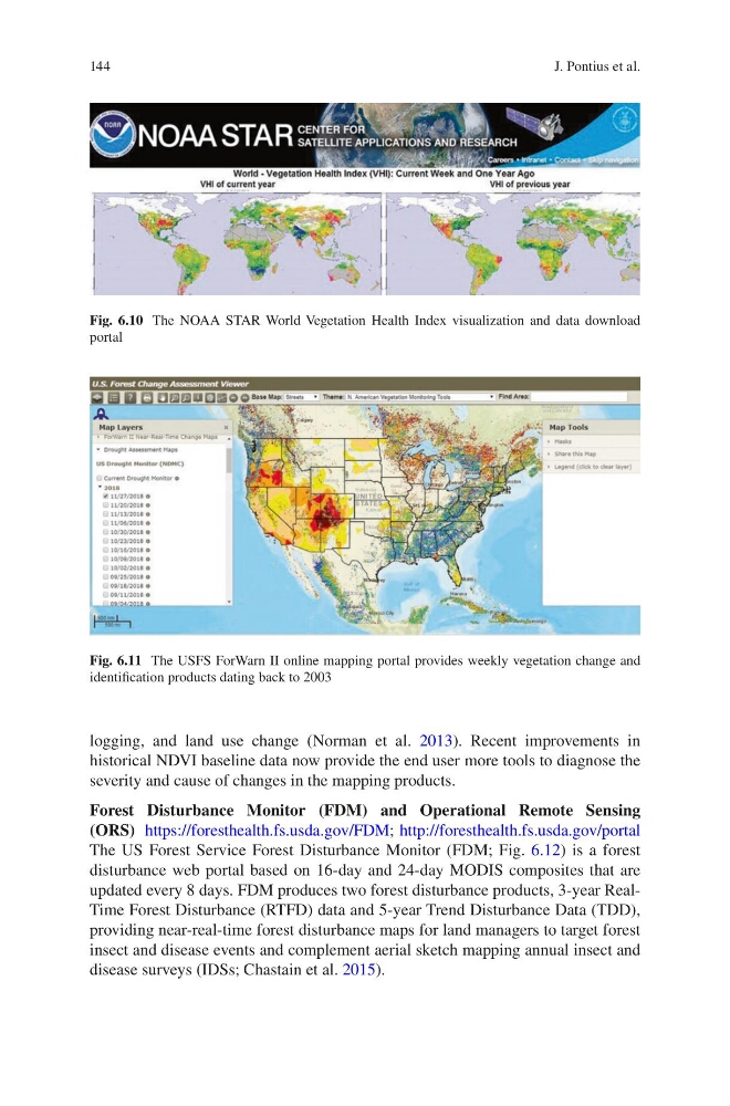
Fig. 6.11 The USFS ForWarn II online mapping portal provides weekly vegetation change and
identification products dating back to 2003
J. Pontius et al.
logging, and land use change (Norman et al. 2013). Recent improvements in
historical NDVI baseline data now provide the end user more tools to diagnose the
severity and cause of changes in the mapping products.
Forest Disturbance Monitor (FDM) and Operational Remote Sensing
(ORS) https://foresthealth.fs.usda.gov/FDM; http://foresthealth.fs.usda.gov/portal
The US Forest Service Forest Disturbance Monitor (FDM; Fig. 6.12) is a forest
disturbance web portal based on 16-day and 24-day MODIS composites that are
updated every 8 days. FDM produces two forest disturbance products, 3-year RealTime Forest Disturbance (RTFD) data and 5-year Trend Disturbance Data (TDD),
providing near-real-time forest disturbance maps for land managers to target forest
insect and disease events and complement aerial sketch mapping annual insect and
disease surveys (IDSs; Chastain et al. 2015).
Fig. 6.10 The NOAA STAR World Vegetation Health Index visualization and data download
portal
Fig. 6.11 The USFS ForWarn II online mapping portal provides weekly vegetation change and
identification products dating back to 2003
J. Pontius et al.