

13.3.2.3 Crop Phenology
It was very important that the aerial imagery was shot at the correct time to
distinguish the land cover, especially for permanent crops. Therefore, the flight
time was planned according to the crop phenology that is specific to Turkey.
13.3.3 Orthophoto Features
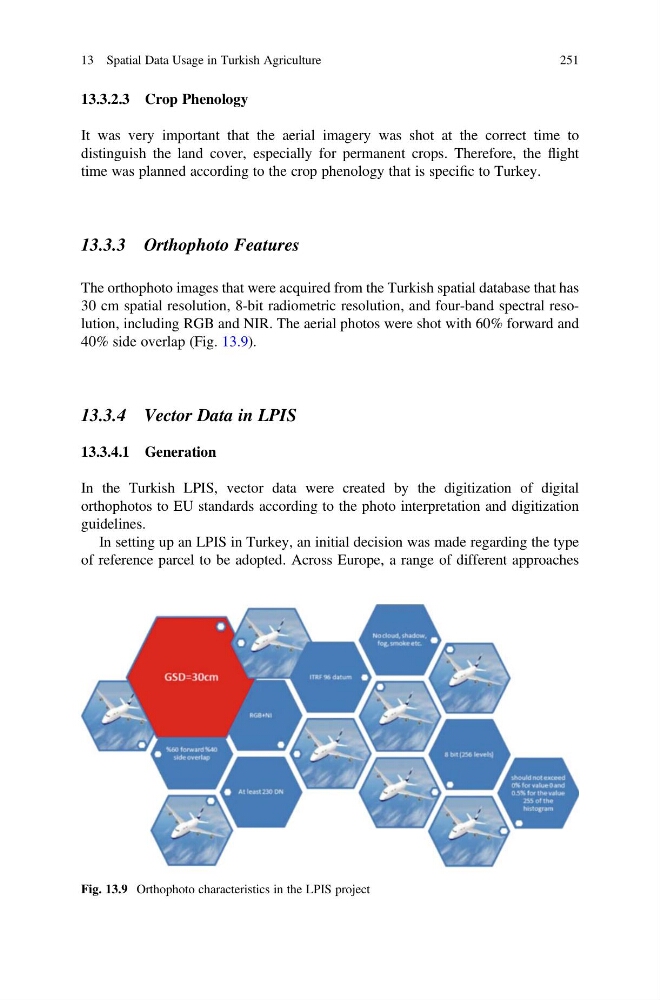
The orthophoto images that were acquired from the Turkish spatial database that has
30 cm spatial resolution, 8-bit radiometric resolution, and four-band spectral resolution, including RGB and NIR. The aerial photos were shot with 60% forward and
40% side overlap (Fig. 13.9).
13.3.4 Vector Data in LPIS
13.3.4.1 Generation
In the Turkish LPIS, vector data were created by the digitization of digital
orthophotos to EU standards according to the photo interpretation and digitization
guidelines.
In setting up an LPIS in Turkey, an initial decision was made regarding the type
of reference parcel to be adopted. Across Europe, a range of different approaches
Fig. 13.9 Orthophoto characteristics in the LPIS project
13 Spatial Data Usage in Turkish Agriculture
251
It was very important that the aerial imagery was shot at the correct time to
distinguish the land cover, especially for permanent crops. Therefore, the flight
time was planned according to the crop phenology that is specific to Turkey.
13.3.3 Orthophoto Features
The orthophoto images that were acquired from the Turkish spatial database that has
30 cm spatial resolution, 8-bit radiometric resolution, and four-band spectral resolution, including RGB and NIR. The aerial photos were shot with 60% forward and
40% side overlap (Fig. 13.9).
13.3.4 Vector Data in LPIS
13.3.4.1 Generation
In the Turkish LPIS, vector data were created by the digitization of digital
orthophotos to EU standards according to the photo interpretation and digitization
guidelines.
In setting up an LPIS in Turkey, an initial decision was made regarding the type
of reference parcel to be adopted. Across Europe, a range of different approaches
Fig. 13.9 Orthophoto characteristics in the LPIS project
13 Spatial Data Usage in Turkish Agriculture
251