

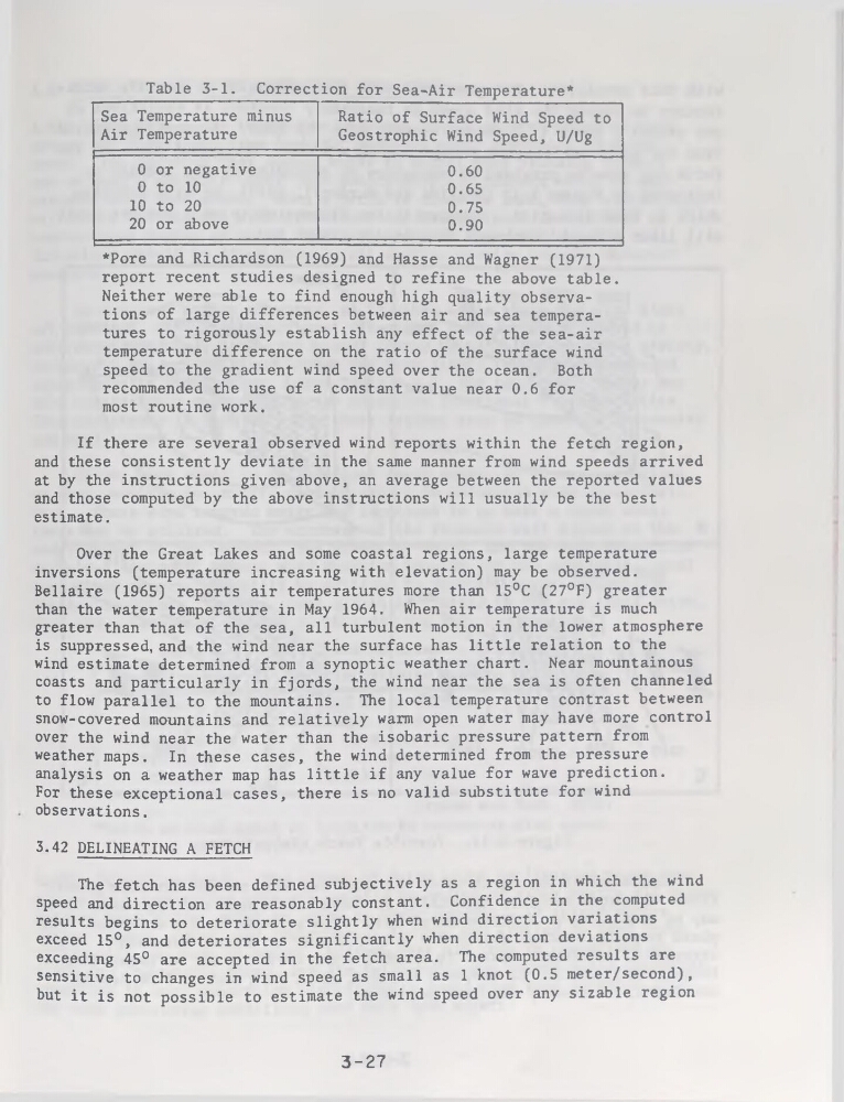
Table 3-1. Correction for Sea-Air Température*
Sea Température minus
Air Température
Ratio of Surface Wind Speed to
Geostrophic Wind Speed, U/Ug
0 or négative
0.60
0 to 10
0.65
10 to 20
0.75
20 or above
0.90
*Pore and Richardson (1969) and Hasse and Wagner (1971)
report recent studies designed to refine the above table.
Neither were able to find enough high quality observations of large différences between air and sea températures to rigorously establish any effect of the sea-air
température différence on the ratio of the surface wind
speed to the gradient wind speed over the océan. Both
recommended the use of a constant value near 0.6 for
most routine work.
If there are several observed wind reports within the fetch région,
and these consistently deviate in the same manner from wind speeds arrived
at by the instructions given above, an average between the reported values
and those computed by the above instructions will usually be the best
estimate.
Over the Great Lakes and some Coastal régions, large température
inversions (température increasing with élévation) may be observed.
Bellaire (1965) reports air températures more than 15°C (27°F) greater
than the water température in May 1964. When air température is much
greater than that of the sea, ail turbulent motion in the lower atmosphère
is suppressed, and the wind near the surface has little relation to the
wind estimate determined from a synoptic weather chart. Near mountainous
coasts and particularly in fjords, the wind near the sea is often channeled
to flow parallel to the mountains. The local température contrast between
snow-covered mountains and relatively warm open water may hâve more control
over the wind near the water than the isobaric pressure pattern from
weather maps. In these cases, the wind determined from the pressure
analysis on a weather map has little if any value for wave prédiction.
For these exceptional cases, there is no valid substitute for wind
observations.
3.42 DELINEATING A FETCH
The fetch has been defined subjectively as a région in which the wind
speed and direction are reasonably constant. Confidence in the computed
results begins to deteriorate slightly when wind direction variations
exceed 15°, and deteriorates significantly when direction déviations
exceeding 45° are accepted in the fetch area. The computed results are
sensitive to changes in wind speed as small as 1 knot (0.5 meter/second) ,
but it is not possible to estimate the wind speed over any sizable région
3-27
Sea Température minus
Air Température
Ratio of Surface Wind Speed to
Geostrophic Wind Speed, U/Ug
0 or négative
0.60
0 to 10
0.65
10 to 20
0.75
20 or above
0.90
*Pore and Richardson (1969) and Hasse and Wagner (1971)
report recent studies designed to refine the above table.
Neither were able to find enough high quality observations of large différences between air and sea températures to rigorously establish any effect of the sea-air
température différence on the ratio of the surface wind
speed to the gradient wind speed over the océan. Both
recommended the use of a constant value near 0.6 for
most routine work.
If there are several observed wind reports within the fetch région,
and these consistently deviate in the same manner from wind speeds arrived
at by the instructions given above, an average between the reported values
and those computed by the above instructions will usually be the best
estimate.
Over the Great Lakes and some Coastal régions, large température
inversions (température increasing with élévation) may be observed.
Bellaire (1965) reports air températures more than 15°C (27°F) greater
than the water température in May 1964. When air température is much
greater than that of the sea, ail turbulent motion in the lower atmosphère
is suppressed, and the wind near the surface has little relation to the
wind estimate determined from a synoptic weather chart. Near mountainous
coasts and particularly in fjords, the wind near the sea is often channeled
to flow parallel to the mountains. The local température contrast between
snow-covered mountains and relatively warm open water may hâve more control
over the wind near the water than the isobaric pressure pattern from
weather maps. In these cases, the wind determined from the pressure
analysis on a weather map has little if any value for wave prédiction.
For these exceptional cases, there is no valid substitute for wind
observations.
3.42 DELINEATING A FETCH
The fetch has been defined subjectively as a région in which the wind
speed and direction are reasonably constant. Confidence in the computed
results begins to deteriorate slightly when wind direction variations
exceed 15°, and deteriorates significantly when direction déviations
exceeding 45° are accepted in the fetch area. The computed results are
sensitive to changes in wind speed as small as 1 knot (0.5 meter/second) ,
but it is not possible to estimate the wind speed over any sizable région
3-27