

CoastGIS’99: geomatics and coastal environment
basins, the University of Utrecht tried to exploit existing statistical data
on the nitrogen and phosphate loaded in the area. All data are based
on livestock and agricultural production statistics aggregated at the administrative level. The aggregation level varies from country to country,
but in most cases is at municipal level. The data capture method does
not consider the huge differences in the size of administrative units,
causing important bias in any geographical analysis. Many political
and/or economic decisions are based on such biased information. The
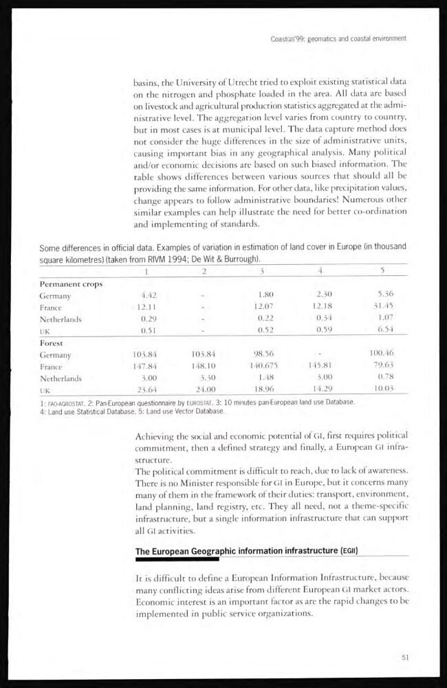
table shows differences between various sources that should all be
providing the same information. For other data, like precipitation values,
change appears to follow administrative boundaries! Numerous other
similar examples can help illustrate the need for better co-ordination
and implementing of standards.
Some differences in official data. Examples of variation in estimation of land cover in Europe (in thousand
square kilometres) (taken from RIVM 1994; De Wit & Burrough).
1
2
3
4
5
Permanent crops
Germany
4.42
1.80
2.30
5.36
France
12.1 1
-
12.07
12.18
31.45
Netherlands
0.29
-
0.22
0.3 4
1.07
UK
0.51
-
0.52
0.59
6.54
Forest
Germany
103.84
103.84
98.56
_
100. 46
France
147.84
148.10
140.675
1 45.81
79.63
Netherlands
3.00
3.30
1.48
3.00
0.78
UK
23.64
24.00
18.96
1 4.29
10.03
1: FAO-AGROSTAT. 2: Pan-European questionnaire by EUROSTAT. 3: 10 minutes pan-European land use Database.
4: Land use Statistical Database. 5: Land use Vector Database.
Achieving the social and economic potential of GI, first requires political
commitment, then a defined strategy and finally, a European GI infrastructure.
The political commitment is difficult to reach, due to lack of awareness.
There is no Minister responsible for GI in Europe, but it concerns many
many of them in the framework of their duties: transport, environment,
land planning, land registry, etc. They all need, not a theme-specific
infrastructure, but a single information infrastructure that can support
all GI activities.
The European Geographic information mfrastructure (EGII)
It is difficult to define a European Information Infrastructure, because
many conflicting ideas arise from different European GI market actors.
Economic interest is an important factor as are the rapid changes to be
implemented in public service organizations.
51
basins, the University of Utrecht tried to exploit existing statistical data
on the nitrogen and phosphate loaded in the area. All data are based
on livestock and agricultural production statistics aggregated at the administrative level. The aggregation level varies from country to country,
but in most cases is at municipal level. The data capture method does
not consider the huge differences in the size of administrative units,
causing important bias in any geographical analysis. Many political
and/or economic decisions are based on such biased information. The
table shows differences between various sources that should all be
providing the same information. For other data, like precipitation values,
change appears to follow administrative boundaries! Numerous other
similar examples can help illustrate the need for better co-ordination
and implementing of standards.
Some differences in official data. Examples of variation in estimation of land cover in Europe (in thousand
square kilometres) (taken from RIVM 1994; De Wit & Burrough).
1
2
3
4
5
Permanent crops
Germany
4.42
1.80
2.30
5.36
France
12.1 1
-
12.07
12.18
31.45
Netherlands
0.29
-
0.22
0.3 4
1.07
UK
0.51
-
0.52
0.59
6.54
Forest
Germany
103.84
103.84
98.56
_
100. 46
France
147.84
148.10
140.675
1 45.81
79.63
Netherlands
3.00
3.30
1.48
3.00
0.78
UK
23.64
24.00
18.96
1 4.29
10.03
1: FAO-AGROSTAT. 2: Pan-European questionnaire by EUROSTAT. 3: 10 minutes pan-European land use Database.
4: Land use Statistical Database. 5: Land use Vector Database.
Achieving the social and economic potential of GI, first requires political
commitment, then a defined strategy and finally, a European GI infrastructure.
The political commitment is difficult to reach, due to lack of awareness.
There is no Minister responsible for GI in Europe, but it concerns many
many of them in the framework of their duties: transport, environment,
land planning, land registry, etc. They all need, not a theme-specific
infrastructure, but a single information infrastructure that can support
all GI activities.
The European Geographic information mfrastructure (EGII)
It is difficult to define a European Information Infrastructure, because
many conflicting ideas arise from different European GI market actors.
Economic interest is an important factor as are the rapid changes to be
implemented in public service organizations.
51