

CoastGIS'99: geomatics and coastal environment
The integration of these data with statistical key values results in the
entirety of all protected values per municipality. For instance, the multiplication of the number of inhabitants by the average housing capital per inhabitant (key value) results in the housing capital per municipality.
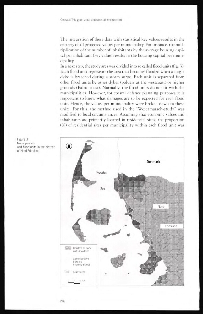
In a next step, the study area was divided into so called flood units (fig. 3).
Each flood unit represents the area that becomes flooded when a single
dyke is breached during a storm surge. Each unit is separated from
other flood units by other dykes (polders at the westcoast) or higher
grounds (Baltic coast). Normally, the flood units do not fit with the
municipalities. However, for coastal defence planning purposes it is
important to know what damages are to be expected for each flood
unit. Hence, the values per municipality were broken down to these
units. For this, the method used in the “Wesermarsch-study” was
modified to local circumstances. Assuming that economic values and
inhabitants are primarily located in residential sites, the proportion
(%) of residential sites per municipality within each flood unit was
Figure 3
Municipalities
and flood units in the district
of Nord-Friesland.
216
The integration of these data with statistical key values results in the
entirety of all protected values per municipality. For instance, the multiplication of the number of inhabitants by the average housing capital per inhabitant (key value) results in the housing capital per municipality.
In a next step, the study area was divided into so called flood units (fig. 3).
Each flood unit represents the area that becomes flooded when a single
dyke is breached during a storm surge. Each unit is separated from
other flood units by other dykes (polders at the westcoast) or higher
grounds (Baltic coast). Normally, the flood units do not fit with the
municipalities. However, for coastal defence planning purposes it is
important to know what damages are to be expected for each flood
unit. Hence, the values per municipality were broken down to these
units. For this, the method used in the “Wesermarsch-study” was
modified to local circumstances. Assuming that economic values and
inhabitants are primarily located in residential sites, the proportion
(%) of residential sites per municipality within each flood unit was
Figure 3
Municipalities
and flood units in the district
of Nord-Friesland.
216