

CHAPTER 13 Shorelines
318
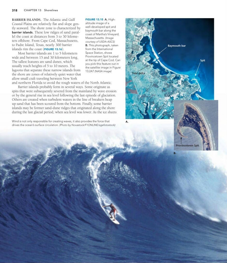
Wind is not only responsible for creating waves, it also provides the force that
drives the ocean’s surface circulation. (Photo by Novastock/F1ONLINE/agefotostock)
BARRIER ISLANDS. The Atlantic and Gulf
Coastal Plains are relatively flat and slope gently seaward. The shore zone is characterized by
barrier islands. These low ridges of sand parallel the coast at distances from 3 to 30 kilometers offshore. From Cape Cod, Massachusetts,
to Padre Island, Texas, nearly 300 barrier
islands rim the coast (FIGURE 13.16).
Most barrier islands are 1 to 5 kilometers
wide and between 15 and 30 kilometers long.
The tallest features are sand dunes, which
usually reach heights of 5 to 10 meters. The
lagoons that separate these narrow islands from
the shore are zones of relatively quiet water that
allow small craft traveling between New York
and northern Florida to avoid the rough waters of the North Atlantic.
Barrier islands probably form in several ways. Some originate as
spits that were subsequently severed from the mainland by wave erosion
or by the general rise in sea level following the last episode of glaciation.
Others are created when turbulent waters in the line of breakers heap
up sand that has been scoured from the bottom. Finally, some barrier
islands may be former sand-dune ridges that originated along the shore
during the last glacial period, when sea level was lower. As the ice sheets
FIGURE 13.15 A. Highaltitude image of a
well-developed spit and
baymouth bar along the
coast of Martha’s Vineyard,
Massachusetts. (Image
courtesy of USDA-ASCS)
B. This photograph, taken
from the International
Space Station, shows
Provincetown Spit located
at the tip of Cape Cod. Can
you pick this feature out in
the satellite image in Figure
13.2A? (NASA image)
A.
Tidal delta
B.
Provincetown Spit
Spit
Baymouth bar
318
Wind is not only responsible for creating waves, it also provides the force that
drives the ocean’s surface circulation. (Photo by Novastock/F1ONLINE/agefotostock)
BARRIER ISLANDS. The Atlantic and Gulf
Coastal Plains are relatively flat and slope gently seaward. The shore zone is characterized by
barrier islands. These low ridges of sand parallel the coast at distances from 3 to 30 kilometers offshore. From Cape Cod, Massachusetts,
to Padre Island, Texas, nearly 300 barrier
islands rim the coast (FIGURE 13.16).
Most barrier islands are 1 to 5 kilometers
wide and between 15 and 30 kilometers long.
The tallest features are sand dunes, which
usually reach heights of 5 to 10 meters. The
lagoons that separate these narrow islands from
the shore are zones of relatively quiet water that
allow small craft traveling between New York
and northern Florida to avoid the rough waters of the North Atlantic.
Barrier islands probably form in several ways. Some originate as
spits that were subsequently severed from the mainland by wave erosion
or by the general rise in sea level following the last episode of glaciation.
Others are created when turbulent waters in the line of breakers heap
up sand that has been scoured from the bottom. Finally, some barrier
islands may be former sand-dune ridges that originated along the shore
during the last glacial period, when sea level was lower. As the ice sheets
FIGURE 13.15 A. Highaltitude image of a
well-developed spit and
baymouth bar along the
coast of Martha’s Vineyard,
Massachusetts. (Image
courtesy of USDA-ASCS)
B. This photograph, taken
from the International
Space Station, shows
Provincetown Spit located
at the tip of Cape Cod. Can
you pick this feature out in
the satellite image in Figure
13.2A? (NASA image)
A.
Tidal delta
B.
Provincetown Spit
Spit
Baymouth bar