

101
Multiple approaches for planning human activities, resource use, and ecosystem integrity in
marine areas are gaining traction around the world, including, marine spatial planning which is a
concept that provides means for improving decision-making using scientific, and geospatial
information, among other tools, to address conflicts, and synergize human activities, while
maintaining ecosystem health, function, and services (Centre for Ocean Solutions, 2011).
In the Mediterranean region however, the concept is still emerging, and many countries have yet
to develop their MSP plans to line up with international trends in a context of climate change,
food security, and resources scarcity challenges. Among these countries, Algeria is especially in
need of an MSP framework, and processes both from a sectoral point of view, and as a
transversal process given it‟s 1622 km long littoral hosting some of the region‟s most important
resources. MSP should be also seen through the multi-use management of spatial maritime
conflicts.
This study aims to analyse the MSP framework in Algeria, focusing on the eastern sector, and
the links between this framework, and biodiversity conservation tools through the case study of
an ongoing creation of an MCPA. Using a mixed methodological approach, the study points out
the available elements that could form an MSP starter-pack along with gaps and weaknesses
standing in the way of the current maritime space governance‟s alignment with international
standards, thereby providing a reference state on MSP in the country. It also provides reference
thematic MSP maps of the three easternmost wilayas, and studies the use of MSP as a tool for
biodiversity conservation, and protection by analysing the spatial uses around the future MCPA
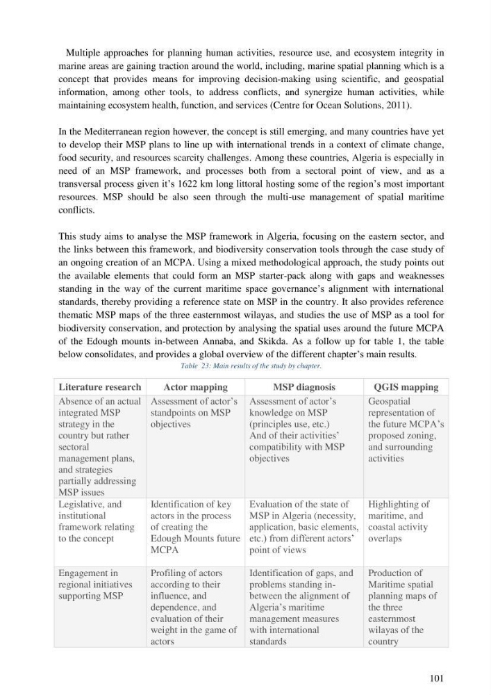
of the Edough mounts in-between Annaba, and Skikda. As a follow up for table 1, the table
below consolidates, and provides a global overview of the different chapter‟s main results.
Table 23: Main results of the study by chapter.
Literature research
Actor mapping
MSP diagnosis
QGIS mapping
Absence of an actual
integrated MSP
strategy in the
country but rather
sectoral
management plans,
and strategies
partially addressing
MSP issues
Assessment of actor‟s
standpoints on MSP
objectives
Assessment of actor‟s
knowledge on MSP
(principles use, etc.)
And of their activities‟
compatibility with MSP
objectives
Geospatial
representation of
the future MCPA‟s
proposed zoning,
and surrounding
activities
Legislative, and
institutional
framework relating
to the concept
Identification of key
actors in the process
of creating the
Edough Mounts future
MCPA
Evaluation of the state of
MSP in Algeria (necessity,
application, basic elements,
etc.) from different actors‟
point of views
Highlighting of
maritime, and
coastal activity
overlaps
Engagement in
regional initiatives
supporting MSP
Profiling of actors
according to their
influence, and
dependence, and
evaluation of their
weight in the game of
actors
Identification of gaps, and
problems standing inbetween the alignment of
Algeria‟s maritime
management measures
with international
standards
Production of
Maritime spatial
planning maps of
the three
easternmost
wilayas of the
country
Multiple approaches for planning human activities, resource use, and ecosystem integrity in
marine areas are gaining traction around the world, including, marine spatial planning which is a
concept that provides means for improving decision-making using scientific, and geospatial
information, among other tools, to address conflicts, and synergize human activities, while
maintaining ecosystem health, function, and services (Centre for Ocean Solutions, 2011).
In the Mediterranean region however, the concept is still emerging, and many countries have yet
to develop their MSP plans to line up with international trends in a context of climate change,
food security, and resources scarcity challenges. Among these countries, Algeria is especially in
need of an MSP framework, and processes both from a sectoral point of view, and as a
transversal process given it‟s 1622 km long littoral hosting some of the region‟s most important
resources. MSP should be also seen through the multi-use management of spatial maritime
conflicts.
This study aims to analyse the MSP framework in Algeria, focusing on the eastern sector, and
the links between this framework, and biodiversity conservation tools through the case study of
an ongoing creation of an MCPA. Using a mixed methodological approach, the study points out
the available elements that could form an MSP starter-pack along with gaps and weaknesses
standing in the way of the current maritime space governance‟s alignment with international
standards, thereby providing a reference state on MSP in the country. It also provides reference
thematic MSP maps of the three easternmost wilayas, and studies the use of MSP as a tool for
biodiversity conservation, and protection by analysing the spatial uses around the future MCPA
of the Edough mounts in-between Annaba, and Skikda. As a follow up for table 1, the table
below consolidates, and provides a global overview of the different chapter‟s main results.
Table 23: Main results of the study by chapter.
Literature research
Actor mapping
MSP diagnosis
QGIS mapping
Absence of an actual
integrated MSP
strategy in the
country but rather
sectoral
management plans,
and strategies
partially addressing
MSP issues
Assessment of actor‟s
standpoints on MSP
objectives
Assessment of actor‟s
knowledge on MSP
(principles use, etc.)
And of their activities‟
compatibility with MSP
objectives
Geospatial
representation of
the future MCPA‟s
proposed zoning,
and surrounding
activities
Legislative, and
institutional
framework relating
to the concept
Identification of key
actors in the process
of creating the
Edough Mounts future
MCPA
Evaluation of the state of
MSP in Algeria (necessity,
application, basic elements,
etc.) from different actors‟
point of views
Highlighting of
maritime, and
coastal activity
overlaps
Engagement in
regional initiatives
supporting MSP
Profiling of actors
according to their
influence, and
dependence, and
evaluation of their
weight in the game of
actors
Identification of gaps, and
problems standing inbetween the alignment of
Algeria‟s maritime
management measures
with international
standards
Production of
Maritime spatial
planning maps of
the three
easternmost
wilayas of the
country