

78
Chapter 4 Finding Your Location with the Global Positioning System
by multiplying t by c. This result will give you the pseudorange (or distance)
between your receiver and the satellite transmitting the signal.
Unfortunately, this still doesn’t tell us much—you know where you are on
the ground in relation to the position of one satellite over 12,000 miles away,
which gives very little information about where you are on the Earth’s surface. It would be like waking up in an unknown location and a passerby tells
you that you’re 500 miles away from Boston—it gives you very little to go on
in determining your real-world location.
The process of determining your position is referred to as trilateration,
which means using three points of reference to find where you are. Trilateration in two dimensions is commonly used when plotting a location on a map.
Take for example that you’re on a trip to Michigan, you’ve driven all night, and
arrived in an unknown location with no identifying information as to where
you are. The people you’re travelling with are nowhere to be found, and the first
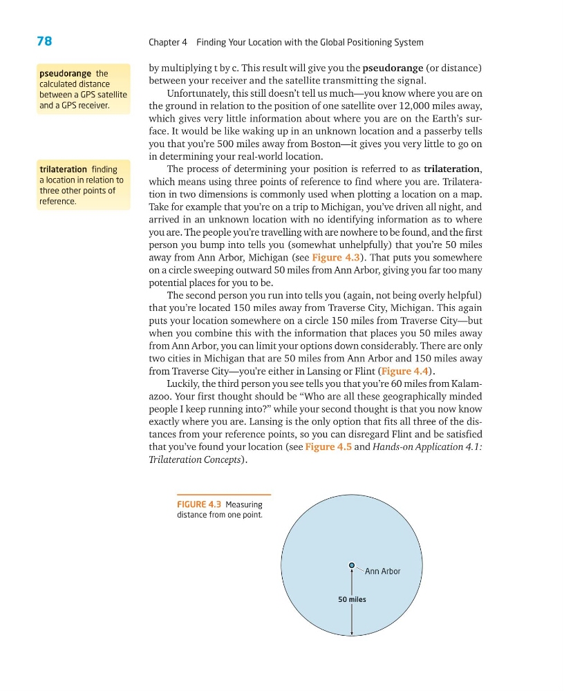
person you bump into tells you (somewhat unhelpfully) that you’re 50 miles
away from Ann Arbor, Michigan (see Figure 4.3). That puts you somewhere
on a circle sweeping outward 50 miles from Ann Arbor, giving you far too many
potential places for you to be.
The second person you run into tells you (again, not being overly helpful)
that you’re located 150 miles away from Traverse City, Michigan. This again
puts your location somewhere on a circle 150 miles from Traverse City—but
when you combine this with the information that places you 50 miles away
from Ann Arbor, you can limit your options down considerably. There are only
two cities in Michigan that are 50 miles from Ann Arbor and 150 miles away
from Traverse City—you’re either in Lansing or Flint (Figure 4.4).
Luckily, the third person you see tells you that you’re 60 miles from Kalamazoo. Your first thought should be “Who are all these geographically minded
people I keep running into?” while your second thought is that you now know
exactly where you are. Lansing is the only option that fits all three of the distances from your reference points, so you can disregard Flint and be satisfied
that you’ve found your location (see Figure 4.5 and Hands-on Application 4.1:
Trilateration Concepts).
trilateration finding
a location in relation to
three other points of
reference.
pseudorange the
calculated distance
between a GPS satellite
and a GPS receiver.
FIGURE 4.3 Measuring
distance from one point.
Ann Arbor
50 miles
Chapter 4 Finding Your Location with the Global Positioning System
by multiplying t by c. This result will give you the pseudorange (or distance)
between your receiver and the satellite transmitting the signal.
Unfortunately, this still doesn’t tell us much—you know where you are on
the ground in relation to the position of one satellite over 12,000 miles away,
which gives very little information about where you are on the Earth’s surface. It would be like waking up in an unknown location and a passerby tells
you that you’re 500 miles away from Boston—it gives you very little to go on
in determining your real-world location.
The process of determining your position is referred to as trilateration,
which means using three points of reference to find where you are. Trilateration in two dimensions is commonly used when plotting a location on a map.
Take for example that you’re on a trip to Michigan, you’ve driven all night, and
arrived in an unknown location with no identifying information as to where
you are. The people you’re travelling with are nowhere to be found, and the first
person you bump into tells you (somewhat unhelpfully) that you’re 50 miles
away from Ann Arbor, Michigan (see Figure 4.3). That puts you somewhere
on a circle sweeping outward 50 miles from Ann Arbor, giving you far too many
potential places for you to be.
The second person you run into tells you (again, not being overly helpful)
that you’re located 150 miles away from Traverse City, Michigan. This again
puts your location somewhere on a circle 150 miles from Traverse City—but
when you combine this with the information that places you 50 miles away
from Ann Arbor, you can limit your options down considerably. There are only
two cities in Michigan that are 50 miles from Ann Arbor and 150 miles away
from Traverse City—you’re either in Lansing or Flint (Figure 4.4).
Luckily, the third person you see tells you that you’re 60 miles from Kalamazoo. Your first thought should be “Who are all these geographically minded
people I keep running into?” while your second thought is that you now know
exactly where you are. Lansing is the only option that fits all three of the distances from your reference points, so you can disregard Flint and be satisfied
that you’ve found your location (see Figure 4.5 and Hands-on Application 4.1:
Trilateration Concepts).
trilateration finding
a location in relation to
three other points of
reference.
pseudorange the
calculated distance
between a GPS satellite
and a GPS receiver.
FIGURE 4.3 Measuring
distance from one point.
Ann Arbor
50 miles