

445
What Types of Educational Opportunities Are Available with Geospatial Technology?
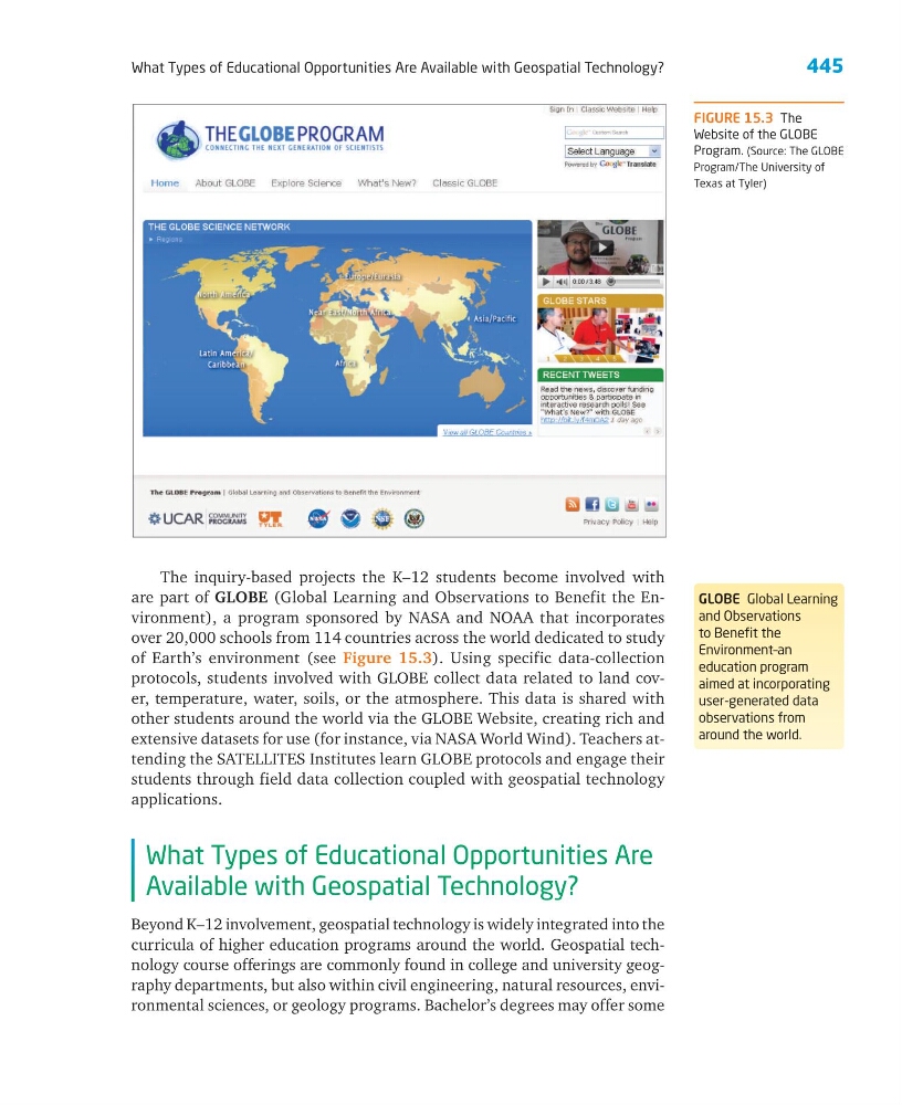
FIGURE 15.3 The
Website of the GLOBE
Program. (Source: The GLOBE
Program/The University of
Texas at Tyler)
The inquiry-based projects the K–12 students become involved with
are part of GLOBE (Global Learning and Observations to Benefit the Environment), a program sponsored by NASA and NOAA that incorporates
over 20,000 schools from 114 countries across the world dedicated to study
of Earth’s environment (see Figure 15.3). Using specific data-collection
protocols, students involved with GLOBE collect data related to land cover, temperature, water, soils, or the atmosphere. This data is shared with
other students around the world via the GLOBE Website, creating rich and
extensive datasets for use (for instance, via NASA World Wind). Teachers attending the SATELLITES Institutes learn GLOBE protocols and engage their
students through field data collection coupled with geospatial technology
applications.
What Types of Educational Opportunities Are
Available with Geospatial Technology?
Beyond K–12 involvement, geospatial technology is widely integrated into the
curricula of higher education programs around the world. Geospatial technology course offerings are commonly found in college and university geography departments, but also within civil engineering, natural resources, environmental sciences, or geology programs. Bachelor’s degrees may offer some
GLOBE Global Learning
and Observations
to Benefit the
Environment–an
education program
aimed at incorporating
user-generated data
observations from
around the world.
What Types of Educational Opportunities Are Available with Geospatial Technology?
FIGURE 15.3 The
Website of the GLOBE
Program. (Source: The GLOBE
Program/The University of
Texas at Tyler)
The inquiry-based projects the K–12 students become involved with
are part of GLOBE (Global Learning and Observations to Benefit the Environment), a program sponsored by NASA and NOAA that incorporates
over 20,000 schools from 114 countries across the world dedicated to study
of Earth’s environment (see Figure 15.3). Using specific data-collection
protocols, students involved with GLOBE collect data related to land cover, temperature, water, soils, or the atmosphere. This data is shared with
other students around the world via the GLOBE Website, creating rich and
extensive datasets for use (for instance, via NASA World Wind). Teachers attending the SATELLITES Institutes learn GLOBE protocols and engage their
students through field data collection coupled with geospatial technology
applications.
What Types of Educational Opportunities Are
Available with Geospatial Technology?
Beyond K–12 involvement, geospatial technology is widely integrated into the
curricula of higher education programs around the world. Geospatial technology course offerings are commonly found in college and university geography departments, but also within civil engineering, natural resources, environmental sciences, or geology programs. Bachelor’s degrees may offer some
GLOBE Global Learning
and Observations
to Benefit the
Environment–an
education program
aimed at incorporating
user-generated data
observations from
around the world.