

417
How Can 3D Modeling and Visualization Be Used with Geospatial Technology?
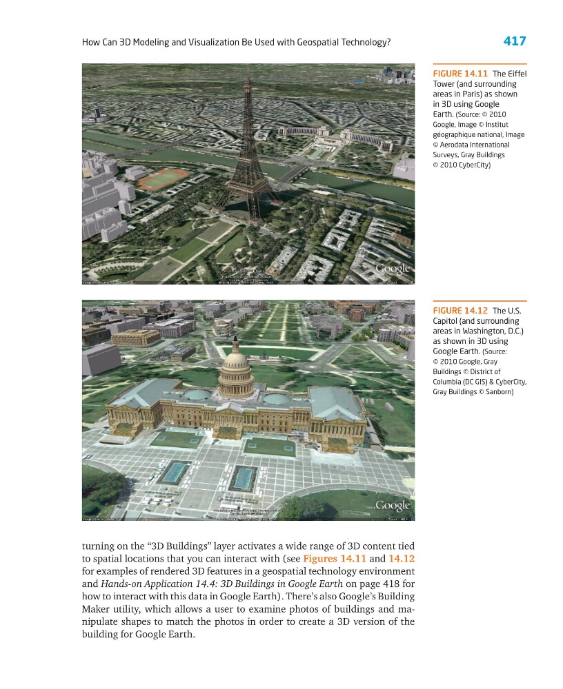
turning on the “3D Buildings” layer activates a wide range of 3D content tied
to spatial locations that you can interact with (see Figures 14.11 and 14.12
for examples of rendered 3D features in a geospatial technology environment
and Hands-on Application 14.4: 3D Buildings in Google Earth on page 418 for
how to interact with this data in Google Earth). There’s also Google’s Building
Maker utility, which allows a user to examine photos of buildings and manipulate shapes to match the photos in order to create a 3D version of the
building for Google Earth.
FIGURE 14.12 The U.S.
Capitol (and surrounding
areas in Washington, D.C.)
as shown in 3D using
Google Earth. (Source:
© 2010 Google, Gray
Buildings © District of
Columbia (DC GIS) & CyberCity,
Gray Buildings © Sanborn)
FIGURE 14.11 The Eiffel
Tower (and surrounding
areas in Paris) as shown
in 3D using Google
Earth. (Source: © 2010
Google, Image © Institut
géographique national, Image
© Aerodata International
Surveys, Gray Buildings
© 2010 CyberCity)
How Can 3D Modeling and Visualization Be Used with Geospatial Technology?
turning on the “3D Buildings” layer activates a wide range of 3D content tied
to spatial locations that you can interact with (see Figures 14.11 and 14.12
for examples of rendered 3D features in a geospatial technology environment
and Hands-on Application 14.4: 3D Buildings in Google Earth on page 418 for
how to interact with this data in Google Earth). There’s also Google’s Building
Maker utility, which allows a user to examine photos of buildings and manipulate shapes to match the photos in order to create a 3D version of the
building for Google Earth.
FIGURE 14.12 The U.S.
Capitol (and surrounding
areas in Washington, D.C.)
as shown in 3D using
Google Earth. (Source:
© 2010 Google, Gray
Buildings © District of
Columbia (DC GIS) & CyberCity,
Gray Buildings © Sanborn)
FIGURE 14.11 The Eiffel
Tower (and surrounding
areas in Paris) as shown
in 3D using Google
Earth. (Source: © 2010
Google, Image © Institut
géographique national, Image
© Aerodata International
Surveys, Gray Buildings
© 2010 CyberCity)