

381
How Can Terrain Be Represented?
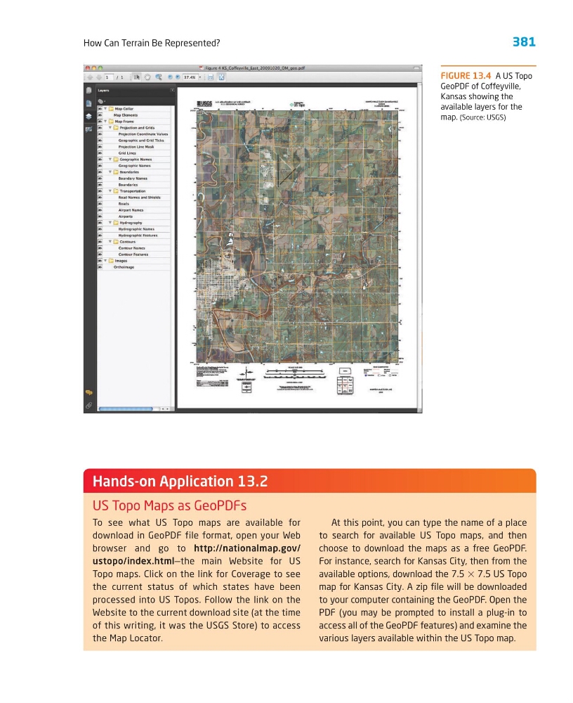
FIGURE 13.4 A US Topo
GeoPDF of Coffeyville,
Kansas showing the
available layers for the
map. (Source: USGS)
To see what US Topo maps are available for
download in GeoPDF file format, open your Web
browser and go to http://nationalmap.gov/
ustopo/index.html—the main Website for US
Topo maps. Click on the link for Coverage to see
the current status of which states have been
processed into US Topos. Follow the link on the
Website to the current download site (at the time
of this writing, it was the USGS Store) to access
the Map Locator.
At this point, you can type the name of a place
to search for available US Topo maps, and then
choose to download the maps as a free GeoPDF.
For instance, search for Kansas City, then from the
available options, download the 7.5 ϫ 7.5 US Topo
map for Kansas City. A zip file will be downloaded
to your computer containing the GeoPDF. Open the
PDF (you may be prompted to install a plug-in to
access all of the GeoPDF features) and examine the
various layers available within the US Topo map.
Hands-on Application 13.2
US Topo Maps as GeoPDFs
How Can Terrain Be Represented?
FIGURE 13.4 A US Topo
GeoPDF of Coffeyville,
Kansas showing the
available layers for the
map. (Source: USGS)
To see what US Topo maps are available for
download in GeoPDF file format, open your Web
browser and go to http://nationalmap.gov/
ustopo/index.html—the main Website for US
Topo maps. Click on the link for Coverage to see
the current status of which states have been
processed into US Topos. Follow the link on the
Website to the current download site (at the time
of this writing, it was the USGS Store) to access
the Map Locator.
At this point, you can type the name of a place
to search for available US Topo maps, and then
choose to download the maps as a free GeoPDF.
For instance, search for Kansas City, then from the
available options, download the 7.5 ϫ 7.5 US Topo
map for Kansas City. A zip file will be downloaded
to your computer containing the GeoPDF. Open the
PDF (you may be prompted to install a plug-in to
access all of the GeoPDF features) and examine the
various layers available within the US Topo map.
Hands-on Application 13.2
US Topo Maps as GeoPDFs