

Slopes in arid zones
341
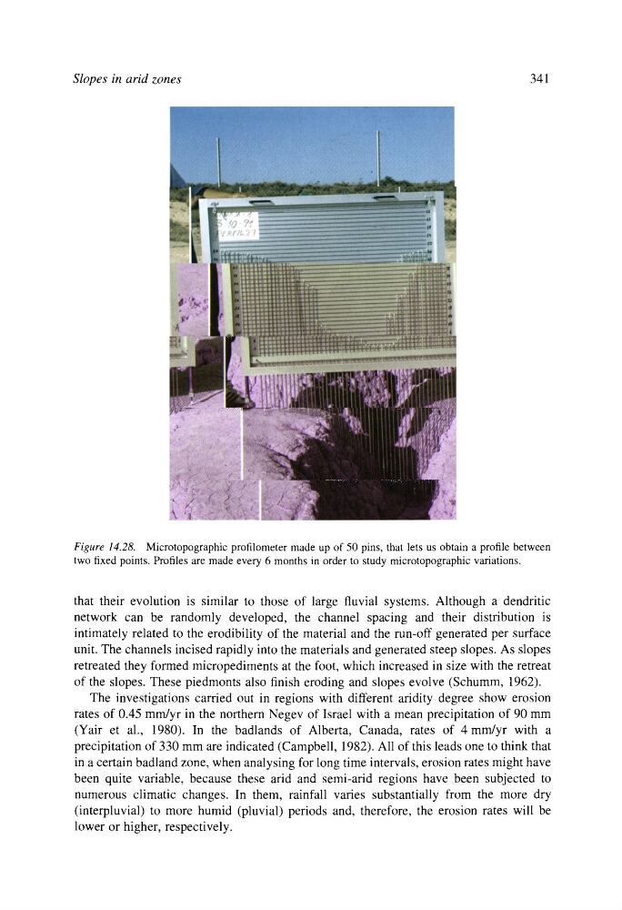
Figure 14.28. Microtopographic profilometer made up of 50 pins, that lets us obtain a profile between
two fixed points. Profiles are made every 6 months in order to study microtopographic variations.
that their evolution is similar to those of large fluvial systems. Although a dendritic
network can be randomly developed, the channel spacing and their distribution is
intimately related to the erodibility of the material and the run-off generated per surface
unit. The channels incised rapidly into the materials and generated steep slopes. As slopes
retreated they formed micropediments at the foot, which increased in size with the retreat
of the slopes. These piedmonts also finish eroding and slopes evolve (Schumm, 1962).
The investigations carried out in regions with different aridity degree show erosion
rates of 0.45 mm/yr in the northern Negev of Israel with a mean precipitation of 90 mm
(Yair et al., 1980). In the badlands of Alberta, Canada, rates of 4 mm/yr with a
precipitation of 330 mm are indicated (Campbell, 1982). All of this leads one to think that
in a certain badland zone, when analysing for long time intervals, erosion rates might have
been quite variable, because these arid and semi-arid regions have been subjected to
numerous climatic changes. In them, rainfall varies substantially from the more dry
(interpluvial) to more humid (pluvial) periods and, therefore, the erosion rates will be
lower or higher, respectively.
341
Figure 14.28. Microtopographic profilometer made up of 50 pins, that lets us obtain a profile between
two fixed points. Profiles are made every 6 months in order to study microtopographic variations.
that their evolution is similar to those of large fluvial systems. Although a dendritic
network can be randomly developed, the channel spacing and their distribution is
intimately related to the erodibility of the material and the run-off generated per surface
unit. The channels incised rapidly into the materials and generated steep slopes. As slopes
retreated they formed micropediments at the foot, which increased in size with the retreat
of the slopes. These piedmonts also finish eroding and slopes evolve (Schumm, 1962).
The investigations carried out in regions with different aridity degree show erosion
rates of 0.45 mm/yr in the northern Negev of Israel with a mean precipitation of 90 mm
(Yair et al., 1980). In the badlands of Alberta, Canada, rates of 4 mm/yr with a
precipitation of 330 mm are indicated (Campbell, 1982). All of this leads one to think that
in a certain badland zone, when analysing for long time intervals, erosion rates might have
been quite variable, because these arid and semi-arid regions have been subjected to
numerous climatic changes. In them, rainfall varies substantially from the more dry
(interpluvial) to more humid (pluvial) periods and, therefore, the erosion rates will be
lower or higher, respectively.