

Fluvioglacial erosion and sedimentation
121
kame delta (Figure 5.14). Kame terraces are formed by accumulation of channel deposits
that run between the valley wall and the lateral ice border (Figure 5.17). The side of the
deposit located close to the ice shows a steep border due to ice melt. A kame complex is
caused by accumulation of sediment in supraglacial depressions (karstic glacial
topography) and later settling by ice melt. The kames are modified by subsidence if
they have underlying ice, and can generate subcircular depressions called kettle holes.
When small hills are associated with depressions, then the term kame and kettle
topography is used, equivalent to the kame complex (Gray, 1991).
The discharge of large volumes of water from the ice margins causes the transport and
sedimentation of particles far away from the ice borders in different environments and
produces proglacial deposits (Table 5.1). In these areas, fluvioglacial sedimentation
prevails because of the decrease in the transport capacity of the ice melt water. The
discharge is associated with a network of braided channels of great lateral mobility,
depositing gravels and sands that build large depositional plains called outwash or sandur
(in plural sandar) (Maizels, 1995) (Figure 5.8). They are similar to alluvial fans, although
with a great influence of strong seasonal fluctuations. The grain sizes in the sandar
diminish from proximal to distal areas (Boothroyd and Nummedal, 1978) (Figure 5.18).
The longitudinal profiles are concave, whereas the cross sections are, in general, convex.
Sandur morphology is continually modified by extraordinary high-flow events as well as
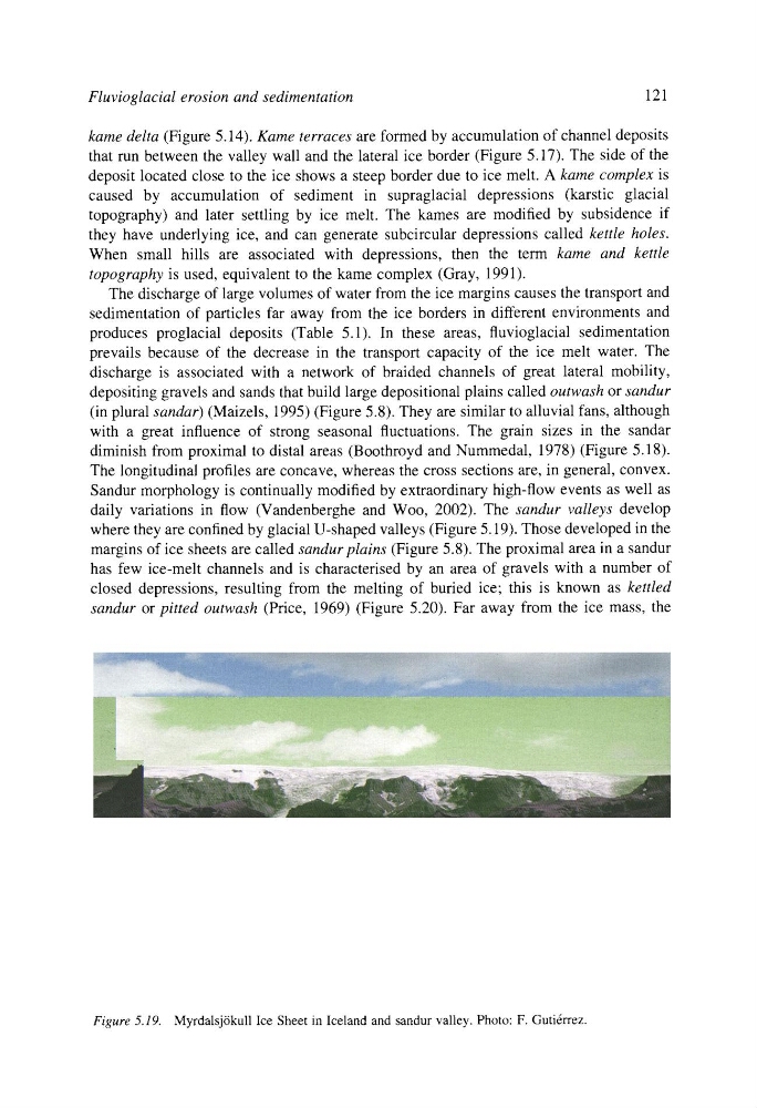
daily variations in flow (Vandenberghe and Woo, 2002). The sandur valleys develop
where they are confined by glacial U-shaped valleys (Figure 5.19). Those developed in the
margins of ice sheets are called sandur plains (Figure 5.8). The proximal area in a sandur
has few ice-melt channels and is characterised by an area of gravels with a number of
closed depressions, resulting from the melting of buried ice; this is known as kettled
sandur or pitted outwash (Price, 1969) (Figure 5.20). Far away from the ice mass, the
Figure 5.19. Myrdalsj6kull Ice Sheet in Iceland and sandur valley. Photo: F. Guti~rrez.
121
kame delta (Figure 5.14). Kame terraces are formed by accumulation of channel deposits
that run between the valley wall and the lateral ice border (Figure 5.17). The side of the
deposit located close to the ice shows a steep border due to ice melt. A kame complex is
caused by accumulation of sediment in supraglacial depressions (karstic glacial
topography) and later settling by ice melt. The kames are modified by subsidence if
they have underlying ice, and can generate subcircular depressions called kettle holes.
When small hills are associated with depressions, then the term kame and kettle
topography is used, equivalent to the kame complex (Gray, 1991).
The discharge of large volumes of water from the ice margins causes the transport and
sedimentation of particles far away from the ice borders in different environments and
produces proglacial deposits (Table 5.1). In these areas, fluvioglacial sedimentation
prevails because of the decrease in the transport capacity of the ice melt water. The
discharge is associated with a network of braided channels of great lateral mobility,
depositing gravels and sands that build large depositional plains called outwash or sandur
(in plural sandar) (Maizels, 1995) (Figure 5.8). They are similar to alluvial fans, although
with a great influence of strong seasonal fluctuations. The grain sizes in the sandar
diminish from proximal to distal areas (Boothroyd and Nummedal, 1978) (Figure 5.18).
The longitudinal profiles are concave, whereas the cross sections are, in general, convex.
Sandur morphology is continually modified by extraordinary high-flow events as well as
daily variations in flow (Vandenberghe and Woo, 2002). The sandur valleys develop
where they are confined by glacial U-shaped valleys (Figure 5.19). Those developed in the
margins of ice sheets are called sandur plains (Figure 5.8). The proximal area in a sandur
has few ice-melt channels and is characterised by an area of gravels with a number of
closed depressions, resulting from the melting of buried ice; this is known as kettled
sandur or pitted outwash (Price, 1969) (Figure 5.20). Far away from the ice mass, the
Figure 5.19. Myrdalsj6kull Ice Sheet in Iceland and sandur valley. Photo: F. Guti~rrez.