

304
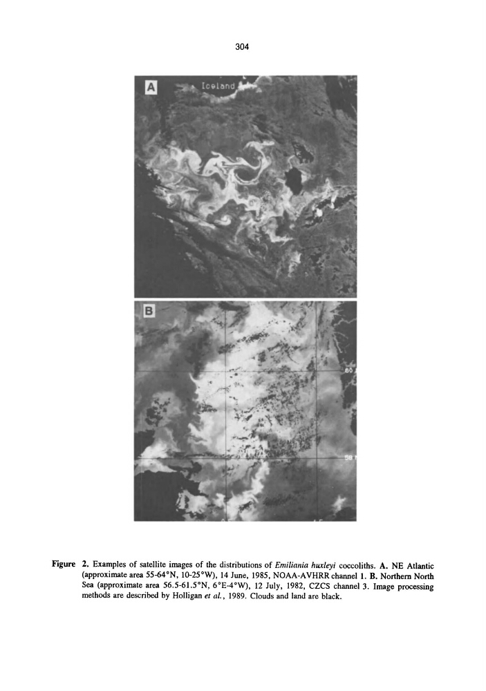
Figure 2. Examples of satellite images of the distributions of Emiliallia huxleyi coccoliths. A. NE Atlantic
(approximate area 55-64°N, lO-25°W), 14 June, 1985, NOAA-AVHRR channell. B. Northern North
Sea (approximate area 56.5-6l.5°N, 6°E-4°W), 12 July, 1982, CZCS channel 3. Image processing
methods are described by Holligan et aI., 1989. Clouds and land are black.
Figure 2. Examples of satellite images of the distributions of Emiliallia huxleyi coccoliths. A. NE Atlantic
(approximate area 55-64°N, lO-25°W), 14 June, 1985, NOAA-AVHRR channell. B. Northern North
Sea (approximate area 56.5-6l.5°N, 6°E-4°W), 12 July, 1982, CZCS channel 3. Image processing
methods are described by Holligan et aI., 1989. Clouds and land are black.