

8. EXAMPLES OF THE USE OF SATELLITE DATA IN
NUMERICAL WEATHER PREDICTION MODELS
65
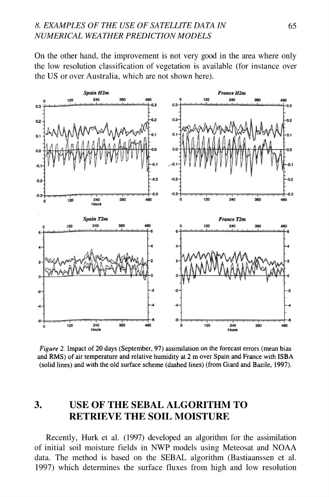
On the other hand, the improvement is not very good in the area where only
the low resolution classification of vegetation is available (for instance over
the US or over Australia, which are not shown here).
3.
USE OF THE SEBAL ALGORITHM TO
RETRIEVE THE SOIL MOISTURE
Recently, Hurk et al. (1997) developed an algorithm for the assimilation
of initial soil moisture fields in NWP models using Meteosat and NOAA
data. The method is based on the SEBAL algorithm (Bastiaanssen et al.
1997) which determines the surface fluxes from high and low resolution
NUMERICAL WEATHER PREDICTION MODELS
65
On the other hand, the improvement is not very good in the area where only
the low resolution classification of vegetation is available (for instance over
the US or over Australia, which are not shown here).
3.
USE OF THE SEBAL ALGORITHM TO
RETRIEVE THE SOIL MOISTURE
Recently, Hurk et al. (1997) developed an algorithm for the assimilation
of initial soil moisture fields in NWP models using Meteosat and NOAA
data. The method is based on the SEBAL algorithm (Bastiaanssen et al.
1997) which determines the surface fluxes from high and low resolution