

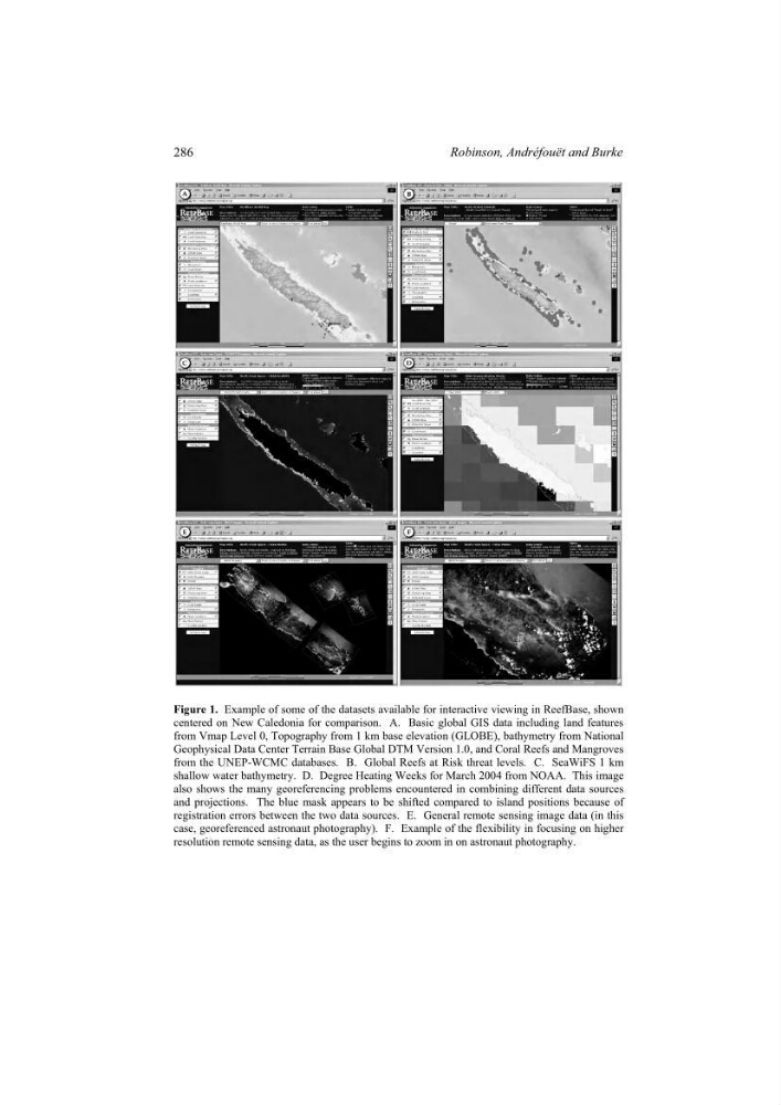
Figure 1. Example of some of the datasets available for interactive viewing in ReefBase, shown
centered on New Caledonia for comparison. A. Basic global GIS data including land features
from Vmap Level 0, Topography from 1 km base elevation (GLOBE), bathymetry from National
Geophysical Data Center Terrain Base Global DTM Version 1.0, and Coral Reefs and Mangroves
from the UNEP-WCMC databases. B. Global Reefs at Risk threat levels. C. SeaWiFS 1 km
shallow water bathymetry. D. Degree Heating Weeks for March 2004 from NOAA. This image
also shows the many georeferencing problems encountered in combining different data sources
and projections. The blue mask appears to be shifted compared to island positions because of
registration errors between the two data sources. E. General remote sensing image data (in this
case, georeferenced astronaut photography). F. Example of the flexibility in focusing on higher
resolution remote sensing data, as the user begins to zoom in on astronaut photography.
286
Robinson, Andréfouët and Burke
centered on New Caledonia for comparison. A. Basic global GIS data including land features
from Vmap Level 0, Topography from 1 km base elevation (GLOBE), bathymetry from National
Geophysical Data Center Terrain Base Global DTM Version 1.0, and Coral Reefs and Mangroves
from the UNEP-WCMC databases. B. Global Reefs at Risk threat levels. C. SeaWiFS 1 km
shallow water bathymetry. D. Degree Heating Weeks for March 2004 from NOAA. This image
also shows the many georeferencing problems encountered in combining different data sources
and projections. The blue mask appears to be shifted compared to island positions because of
registration errors between the two data sources. E. General remote sensing image data (in this
case, georeferenced astronaut photography). F. Example of the flexibility in focusing on higher
resolution remote sensing data, as the user begins to zoom in on astronaut photography.
286
Robinson, Andréfouët and Burke