

otherwise known as ‘parachute science’, involves minimal, if any, contact between a
science and a manager. Unfortunately, this method still regularly remains in use for
assessing management strategies and deciphering the most appropriate application of
the technology. Other factors that challenge effective communication of remotely
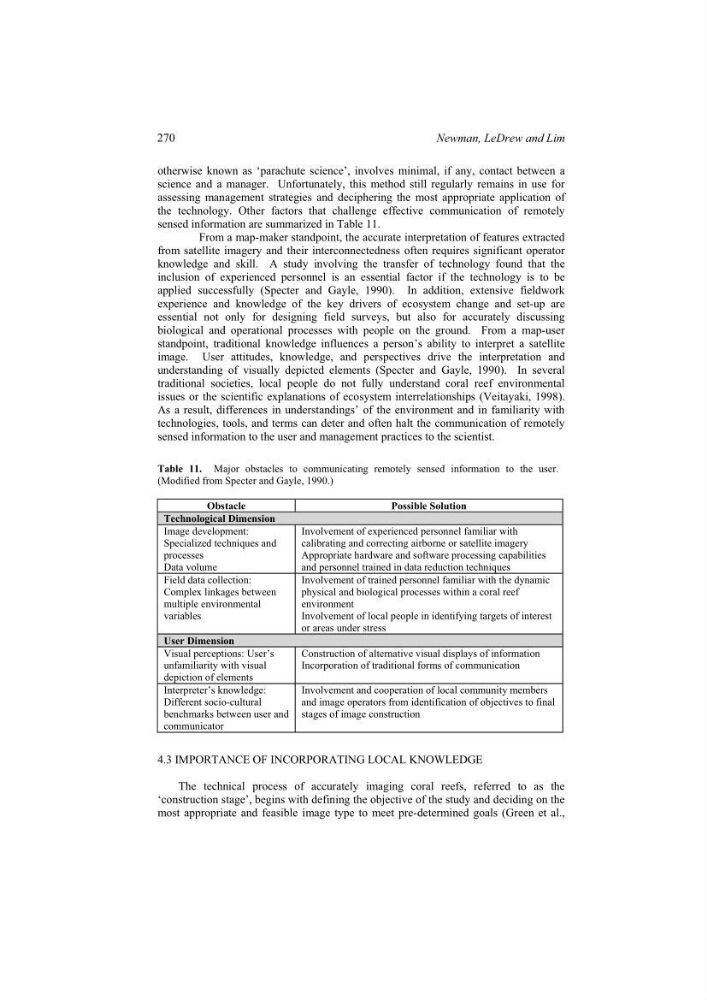
sensed information are summarized in Table 11.
From a map-maker standpoint, the accurate interpretation of features extracted
from satellite imagery and their interconnectedness often requires significant operator
knowledge and skill. A study involving the transfer of technology found that the
inclusion of experienced personnel is an essential factor if the technology is to be
applied successfully (Specter and Gayle, 1990). In addition, extensive fieldwork
experience and knowledge of the key drivers of ecosystem change and set-up are
essential not only for designing field surveys, but also for accurately discussing
biological and operational processes with people on the ground. From a map-user
standpoint, traditional knowledge influences a person’s ability to interpret a satellite
image. User attitudes, knowledge, and perspectives drive the interpretation and
understanding of visually depicted elements (Specter and Gayle, 1990). In several
traditional societies, local people do not fully understand coral reef environmental
issues or the scientific explanations of ecosystem interrelationships (Veitayaki, 1998).
As a result, differences in understandings’ of the environment and in familiarity with
technologies, tools, and terms can deter and often halt the communication of remotely
sensed information to the user and management practices to the scientist.
Table 11. Major obstacles to communicating remotely sensed information to the user.
(Modified from Specter and Gayle, 1990.)
Obstacle
Possible Solution
Technological Dimension
Image development:
Specialized techniques and
processes
Data volume
Involvement of experienced personnel familiar with
calibrating and correcting airborne or satellite imagery
Appropriate hardware and software processing capabilities
and personnel trained in data reduction techniques
Field data collection:
Complex linkages between
multiple environmental
variables
Involvement of trained personnel familiar with the dynamic
physical and biological processes within a coral reef
environment
Involvement of local people in identifying targets of interest
or areas under stress
User Dimension
Visual perceptions: User’s
unfamiliarity with visual
depiction of elements
Construction of alternative visual displays of information
Incorporation of traditional forms of communication
Interpreter’s knowledge:
Different socio-cultural
benchmarks between user and
communicator
Involvement and cooperation of local community members
and image operators from identification of objectives to final
stages of image construction
4.3 IMPORTANCE OF INCORPORATING LOCAL KNOWLEDGE
The technical process of accurately imaging coral reefs, referred to as the
‘construction stage’, begins with defining the objective of the study and deciding on the
most appropriate and feasible image type to meet pre-determined goals (Green et al.,
270
Newman, LeDrew and Lim
science and a manager. Unfortunately, this method still regularly remains in use for
assessing management strategies and deciphering the most appropriate application of
the technology. Other factors that challenge effective communication of remotely
sensed information are summarized in Table 11.
From a map-maker standpoint, the accurate interpretation of features extracted
from satellite imagery and their interconnectedness often requires significant operator
knowledge and skill. A study involving the transfer of technology found that the
inclusion of experienced personnel is an essential factor if the technology is to be
applied successfully (Specter and Gayle, 1990). In addition, extensive fieldwork
experience and knowledge of the key drivers of ecosystem change and set-up are
essential not only for designing field surveys, but also for accurately discussing
biological and operational processes with people on the ground. From a map-user
standpoint, traditional knowledge influences a person’s ability to interpret a satellite
image. User attitudes, knowledge, and perspectives drive the interpretation and
understanding of visually depicted elements (Specter and Gayle, 1990). In several
traditional societies, local people do not fully understand coral reef environmental
issues or the scientific explanations of ecosystem interrelationships (Veitayaki, 1998).
As a result, differences in understandings’ of the environment and in familiarity with
technologies, tools, and terms can deter and often halt the communication of remotely
sensed information to the user and management practices to the scientist.
Table 11. Major obstacles to communicating remotely sensed information to the user.
(Modified from Specter and Gayle, 1990.)
Obstacle
Possible Solution
Technological Dimension
Image development:
Specialized techniques and
processes
Data volume
Involvement of experienced personnel familiar with
calibrating and correcting airborne or satellite imagery
Appropriate hardware and software processing capabilities
and personnel trained in data reduction techniques
Field data collection:
Complex linkages between
multiple environmental
variables
Involvement of trained personnel familiar with the dynamic
physical and biological processes within a coral reef
environment
Involvement of local people in identifying targets of interest
or areas under stress
User Dimension
Visual perceptions: User’s
unfamiliarity with visual
depiction of elements
Construction of alternative visual displays of information
Incorporation of traditional forms of communication
Interpreter’s knowledge:
Different socio-cultural
benchmarks between user and
communicator
Involvement and cooperation of local community members
and image operators from identification of objectives to final
stages of image construction
4.3 IMPORTANCE OF INCORPORATING LOCAL KNOWLEDGE
The technical process of accurately imaging coral reefs, referred to as the
‘construction stage’, begins with defining the objective of the study and deciding on the
most appropriate and feasible image type to meet pre-determined goals (Green et al.,
270
Newman, LeDrew and Lim