

began to be used extensively by the military in WWI. Cameras were developed
specifically for use in airplanes, and aerial photography soon replaced traditional
maps drawn by aerial observers. After the end of WWI in 1918, aerial cameras
began to be used for commercial purposes and surveying.
Aerial photographs of the Great Barrier Reef were collected as early as 1928
(Stephenson et al. 1931; Fairbridge and Teichert 1948), yet it was the onset of
WWII in 1939 that precipitated the photography of many Pacific islands and reefs,
including low-angle oblique photographs, for military purposes. Initially used to
chart beach landings, these military photographs soon became the basis of scientific studies, from tracking morphological changes and the influence of wave
patterns, to investigating the structure and orientation of platform reefs, and many
others (Steers 1945). Since that time, aerial photographs have become an important
source of information for scientists studying coral reefs. This chapter includes
discussion on the use of aerial photography acquired through the use of either
fixed-wing or rotary aircraft, as well as space-based photography, to capture
images of coral reefs for mapping baseline information, change detection, and
other scientific and management applications. Case studies are presented to
illustrate several uses of aerial photography in coral reef environments.
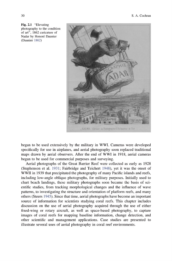
Fig. 2.1 ‘‘Elevating
photography to the condition
of art’’, 1862 caricature of
Nadar by Honoré Daunier
(Daunier 1862)
30
S. A. Cochran
specifically for use in airplanes, and aerial photography soon replaced traditional
maps drawn by aerial observers. After the end of WWI in 1918, aerial cameras
began to be used for commercial purposes and surveying.
Aerial photographs of the Great Barrier Reef were collected as early as 1928
(Stephenson et al. 1931; Fairbridge and Teichert 1948), yet it was the onset of
WWII in 1939 that precipitated the photography of many Pacific islands and reefs,
including low-angle oblique photographs, for military purposes. Initially used to
chart beach landings, these military photographs soon became the basis of scientific studies, from tracking morphological changes and the influence of wave
patterns, to investigating the structure and orientation of platform reefs, and many
others (Steers 1945). Since that time, aerial photographs have become an important
source of information for scientists studying coral reefs. This chapter includes
discussion on the use of aerial photography acquired through the use of either
fixed-wing or rotary aircraft, as well as space-based photography, to capture
images of coral reefs for mapping baseline information, change detection, and
other scientific and management applications. Case studies are presented to
illustrate several uses of aerial photography in coral reef environments.
Fig. 2.1 ‘‘Elevating
photography to the condition
of art’’, 1862 caricature of
Nadar by Honoré Daunier
(Daunier 1862)
30
S. A. Cochran