

transitional forest cover. The region experiences a cool-moist climate with mean
annual temperature and precipitation ranges of 3.5–6.5
C and 900–1500 mm,
respectively. A generalized description of forest cover and geomorphology of NB
can be found in Hassan et al. (2006).
The images used to generate WI include three descending RADARSAT-1
ScanSAR Narrow A (SNA) images, at a pixel spacing (resolution) of 25-m taken
at incident angles of 20–40
in the C-band (i.e., 5.3 GHz). The images were
acquired at approximately 6:00 a.m. local daylight time on 15 July, 08 August,
and 01 September, 2005.
Field SWC conditions were measured at 10-cm depths at three representative
areas having different vegetation cover. The areas include (i) two sites in dense
forests (i.e., 100 % forested with a basal area in the range of 26–30 m
2 ha
À1 ; Xing
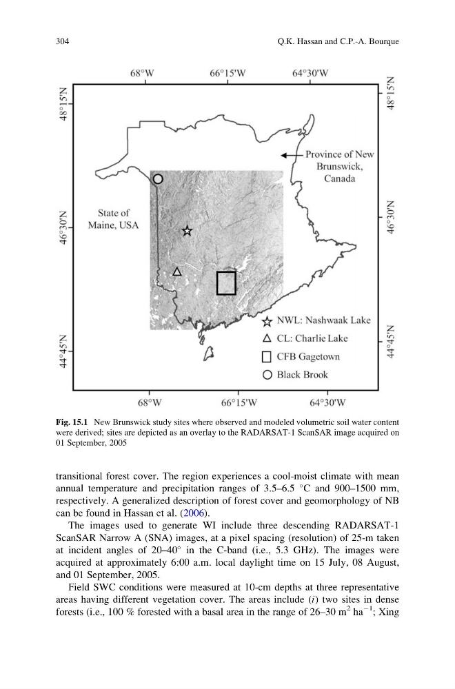
Fig. 15.1 New Brunswick study sites where observed and modeled volumetric soil water content
were derived; sites are depicted as an overlay to the RADARSAT-1 ScanSAR image acquired on
01 September, 2005
304
Q.K. Hassan and C.P.-A. Bourque
annual temperature and precipitation ranges of 3.5–6.5
C and 900–1500 mm,
respectively. A generalized description of forest cover and geomorphology of NB
can be found in Hassan et al. (2006).
The images used to generate WI include three descending RADARSAT-1
ScanSAR Narrow A (SNA) images, at a pixel spacing (resolution) of 25-m taken
at incident angles of 20–40
in the C-band (i.e., 5.3 GHz). The images were
acquired at approximately 6:00 a.m. local daylight time on 15 July, 08 August,
and 01 September, 2005.
Field SWC conditions were measured at 10-cm depths at three representative
areas having different vegetation cover. The areas include (i) two sites in dense
forests (i.e., 100 % forested with a basal area in the range of 26–30 m
2 ha
À1 ; Xing
Fig. 15.1 New Brunswick study sites where observed and modeled volumetric soil water content
were derived; sites are depicted as an overlay to the RADARSAT-1 ScanSAR image acquired on
01 September, 2005
304
Q.K. Hassan and C.P.-A. Bourque