

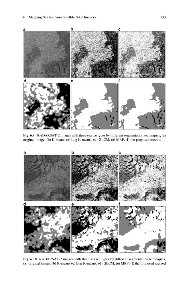
Fig. 6.9 RADARSAT-2 images with three sea ice types by different segmentation techniques, (a)
original image, (b) K-means (c) Log K-means, (d) GLCM, (e) MRF, (f) the proposed method
Fig. 6.10 RADARSAT-2 images with three sea ice types by different segmentation techniques,
(a) original image, (b) K-means (c) Log K-means, (d) GLCM, (e) MRF, (f) the proposed method
6 Mapping Sea Ice from Satellite SAR Imagery
133
original image, (b) K-means (c) Log K-means, (d) GLCM, (e) MRF, (f) the proposed method
Fig. 6.10 RADARSAT-2 images with three sea ice types by different segmentation techniques,
(a) original image, (b) K-means (c) Log K-means, (d) GLCM, (e) MRF, (f) the proposed method
6 Mapping Sea Ice from Satellite SAR Imagery
133