

71
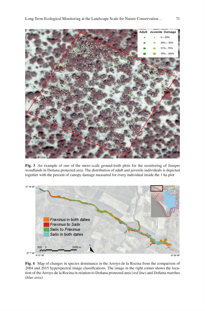
Fig. 3 An example of one of the meso-scale ground-truth plots for the monitoring of Juniper
woodlands in Doñana protected area. The distribution of adult and juvenile individuals is depicted
together with the percent of canopy damage measured for every individual inside the 1 ha plot
Fig. 4 Map of changes in species dominance in the Arroyo de la Rocina from the comparison of
2004 and 2015 hyperspectral image classifications. The image in the right corner shows the location of the Arroyo de la Rocina in relation to Doñana protected area (red line) and Doñana marshes
(blue area)
Long-Term Ecological Monitoring at the Landscape Scale for Nature Conservation…
Fig. 3 An example of one of the meso-scale ground-truth plots for the monitoring of Juniper
woodlands in Doñana protected area. The distribution of adult and juvenile individuals is depicted
together with the percent of canopy damage measured for every individual inside the 1 ha plot
Fig. 4 Map of changes in species dominance in the Arroyo de la Rocina from the comparison of
2004 and 2015 hyperspectral image classifications. The image in the right corner shows the location of the Arroyo de la Rocina in relation to Doñana protected area (red line) and Doñana marshes
(blue area)
Long-Term Ecological Monitoring at the Landscape Scale for Nature Conservation…