

568
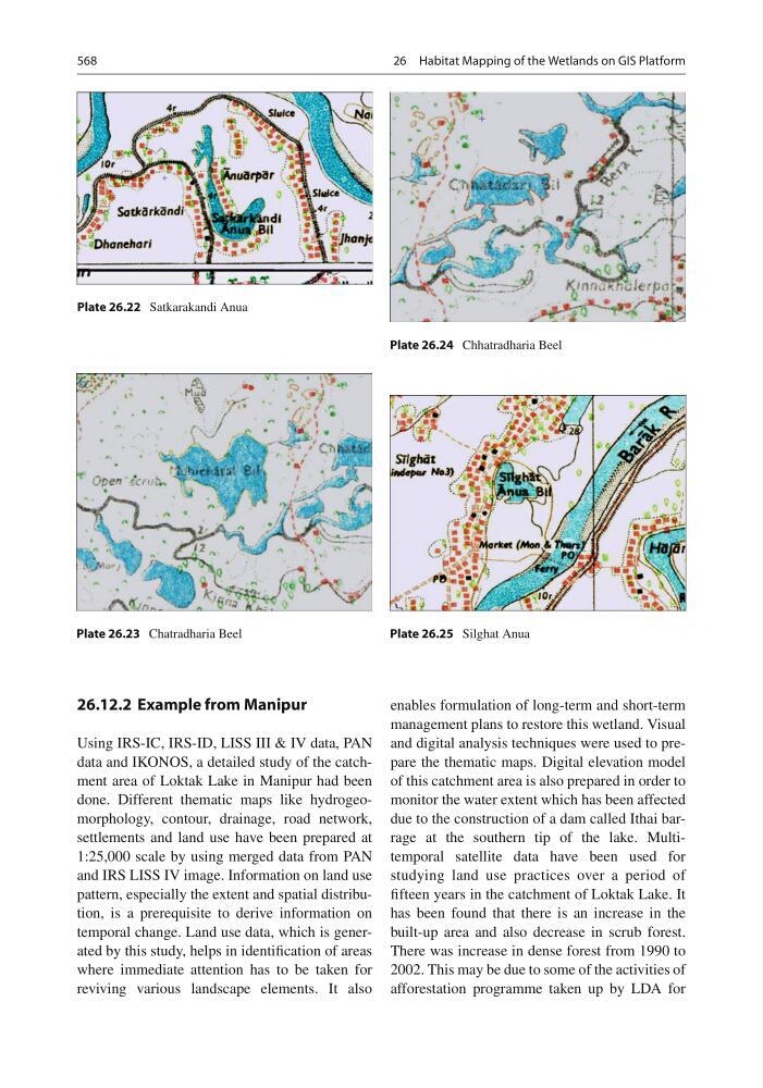
Plate 26.22 Satkarakandi Anua
Plate 26.23 Chatradharia Beel
Plate 26.24 Chhatradharia Beel
Plate 26.25 Silghat Anua
26.12.2 Example from Manipur
Using IRS-IC, IRS-ID, LISS III & IV data, PAN
data and IKONOS, a detailed study of the catchment area of Loktak Lake in Manipur had been
done. Different thematic maps like hydrogeomorphology, contour, drainage, road network,
settlements and land use have been prepared at
1:25,000 scale by using merged data from PAN
and IRS LISS IV image. Information on land use
pattern, especially the extent and spatial distribution, is a prerequisite to derive information on
temporal change. Land use data, which is generated by this study, helps in identifi cation of areas
where immediate attention has to be taken for
reviving various landscape elements. It also
enables formulation of long-term and short-term
management plans to restore this wetland. Visual
and digital analysis techniques were used to prepare the thematic maps. Digital elevation model
of this catchment area is also prepared in order to
monitor the water extent which has been affected
due to the construction of a dam called Ithai barrage at the southern tip of the lake. Multitemporal satellite data have been used for
studying land use practices over a period of
fi fteen years in the catchment of Loktak Lake. It
has been found that there is an increase in the
built-up area and also decrease in scrub forest.
There was increase in dense forest from 1990 to
2002. This may be due to some of the activities of
afforestation programme taken up by LDA for
26 Habitat Mapping of the Wetlands on GIS Platform