

564
sensors have a unique sensitivity to the moisture
content of earth material. They are also highly
sensitive to textural properties of vegetative
cover. Therefore, they can be used to discriminate between grasses, aquatic vegetation, forest
and crop cover. In this way, the surrounding
people can use them to identify the encroachment inside a national park for agricultural
activities.
Identifi cation of different habitats is also an
important activity for wetland monitoring and
management. Studies indicate that Synthetic
Aperture Radar data are far superior to optical
satellite data in the delineation of open water,
habitat and aquatic vegetation. Although radar
remote sensing could play an important role in
wetlands, so far very little amount of work has
been done and there is huge potential to explore
and exploit the different capabilities of radar
data for wetland research. High incidence
angle radar data have been used to delineate the
open-water habitat with aquatic vegetation
critical for waterfowl in wetlands The study of
Keoladeo Ghana National Park in Bharatpur has
shown that radar data are 3 to 4 times better in
delineating the extent of open water, aquatic
vegetation categories and also localities of
high soil moisture content. This information will
be of great signifi cance in formulating Habitat
Suitability Index (BS) models for a variety of
faunal species.
26.12 Wetland Habitat Mapping
Exemplifi ed
26.12.1 Examples from Assam
Attempt has been made to map few wetlands in
Assam. These are given below:
26.12.1.1 Comments
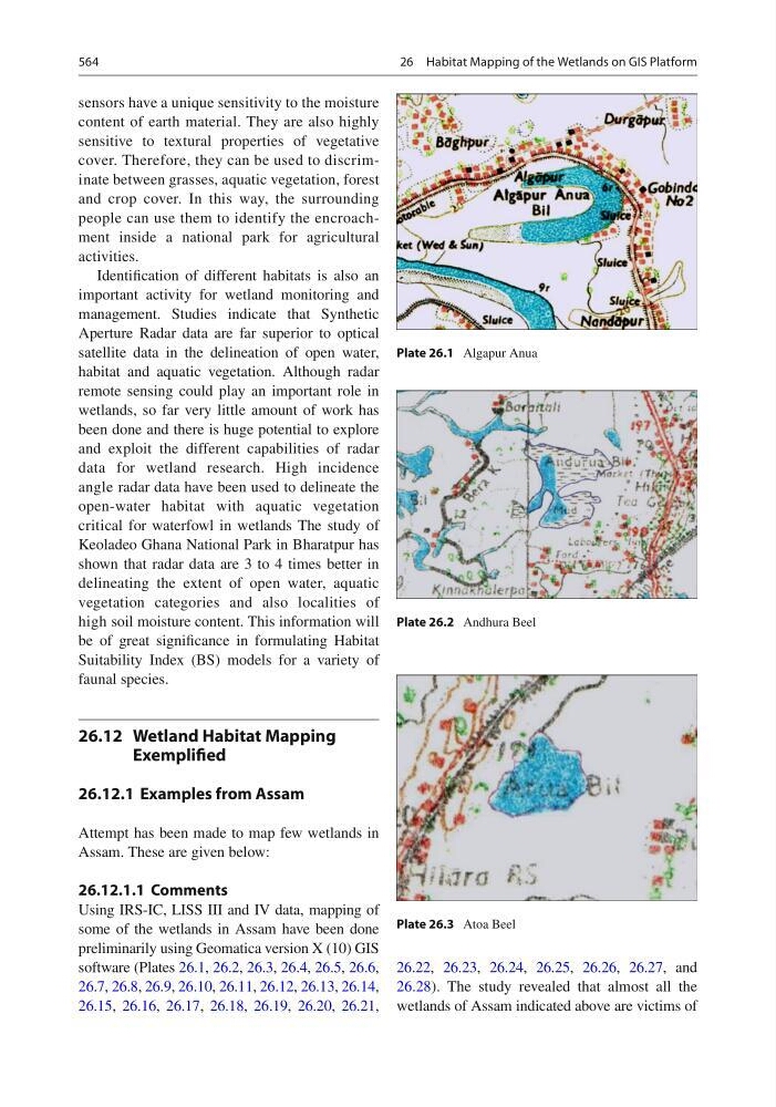
Using IRS-IC, LISS III and IV data, mapping of
some of the wetlands in Assam have been done
preliminarily using Geomatica version X (10) GIS
software (Plates 26.1 , 26.2 , 26.3 , 26.4 , 26.5 , 26.6 ,
26.7 , 26.8 , 26.9 , 26.10 , 26.11 , 26.12 , 26.13 , 26.14 ,
26.15 , 26.16 , 26.17 , 26.18 , 26.19 , 26.20 , 26.21 ,
26.22 , 26.23 , 26.24 , 26.25 , 26.26 , 26.27 , and
26.28 ). The study revealed that almost all the
wetlands of Assam indicated above are victims of
Plate 26.1 Algapur Anua
Plate 26.2 Andhura Beel
Plate 26.3 Atoa Beel
26 Habitat Mapping of the Wetlands on GIS Platform