

420
occurs during October–November under the
infl uence of NE monsoon. These are important
habitats for migratory waterfowls.
20.3.14.2 Point Calimere
Point Calimere (also called Cape Calimere and
Kodiakkarai ) lies between 10° 17′ 16″ N and 79°
51′ 54″ E, in the Nagapattinam District of the
province of Tamil Nadu (TN) in India. Point
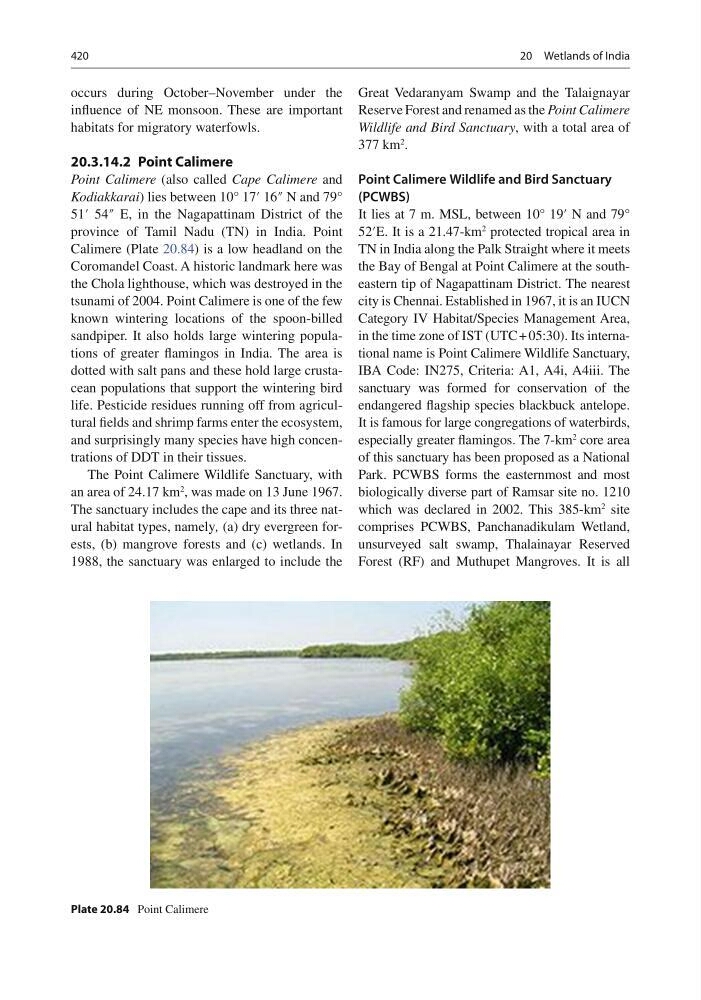
Calimere (Plate 20.84 ) is a low headland on the
Coromandel Coast. A historic landmark here was
the Chola lighthouse, which was destroyed in the
tsunami of 2004. Point Calimere is one of the few
known wintering locations of the spoon-billed
sandpiper. It also holds large wintering populations of greater fl amingos in India. The area is
dotted with salt pans and these hold large crustacean populations that support the wintering bird
life. Pesticide residues running off from agricultural fi elds and shrimp farms enter the ecosystem,
and surprisingly many species have high concentrations of DDT in their tissues.
The Point Calimere Wildlife Sanctuary, with
an area of 24.17 km
2 , was made on 13 June 1967.
The sanctuary includes the cape and its three natural habitat types, namely , (a) dry evergreen forests, (b) mangrove forests and (c) wetlands. In
1988, the sanctuary was enlarged to include the
Great Vedaranyam Swamp and the Talaignayar
Reserve Forest and renamed as the Point Calimere
Wildlife and Bird Sanctuary , with a total area of
377 km
2 .
Point Calimere Wildlife and Bird Sanctuary
(PCWBS)
It lies at 7 m. MSL, between 10° 19′ N and 79°
52′E. It is a 21.47-km
2 protected tropical area in
TN in India along the Palk Straight where it meets
the Bay of Bengal at Point Calimere at the southeastern tip of Nagapattinam District. The nearest
city is Chennai. Established in 1967, it is an IUCN
Category IV Habitat/Species Management Area,
in the time zone of IST (UTC + 05:30). Its international name is Point Calimere Wildlife Sanctuary,
IBA Code: IN275, Criteria: A1, A4i, A4iii. The
sanctuary was formed for conservation of the
endangered fl agship species blackbuck antelope.
It is famous for large congregations of waterbirds,
especially greater fl amingos. The 7-km
2 core area
of this sanctuary has been proposed as a National
Park. PCWBS forms the easternmost and most
biologically diverse part of Ramsar site no. 1210
which was declared in 2002. This 385-km
2 site
comprises PCWBS, Panchanadikulam Wetland,
unsurveyed salt swamp, Thalainayar Reserved
Forest (RF) and Muthupet Mangroves. It is all
Plate 20.84 Point Calimere
20 Wetlands of India
occurs during October–November under the
infl uence of NE monsoon. These are important
habitats for migratory waterfowls.
20.3.14.2 Point Calimere
Point Calimere (also called Cape Calimere and
Kodiakkarai ) lies between 10° 17′ 16″ N and 79°
51′ 54″ E, in the Nagapattinam District of the
province of Tamil Nadu (TN) in India. Point
Calimere (Plate 20.84 ) is a low headland on the
Coromandel Coast. A historic landmark here was
the Chola lighthouse, which was destroyed in the
tsunami of 2004. Point Calimere is one of the few
known wintering locations of the spoon-billed
sandpiper. It also holds large wintering populations of greater fl amingos in India. The area is
dotted with salt pans and these hold large crustacean populations that support the wintering bird
life. Pesticide residues running off from agricultural fi elds and shrimp farms enter the ecosystem,
and surprisingly many species have high concentrations of DDT in their tissues.
The Point Calimere Wildlife Sanctuary, with
an area of 24.17 km
2 , was made on 13 June 1967.
The sanctuary includes the cape and its three natural habitat types, namely , (a) dry evergreen forests, (b) mangrove forests and (c) wetlands. In
1988, the sanctuary was enlarged to include the
Great Vedaranyam Swamp and the Talaignayar
Reserve Forest and renamed as the Point Calimere
Wildlife and Bird Sanctuary , with a total area of
377 km
2 .
Point Calimere Wildlife and Bird Sanctuary
(PCWBS)
It lies at 7 m. MSL, between 10° 19′ N and 79°
52′E. It is a 21.47-km
2 protected tropical area in
TN in India along the Palk Straight where it meets
the Bay of Bengal at Point Calimere at the southeastern tip of Nagapattinam District. The nearest
city is Chennai. Established in 1967, it is an IUCN
Category IV Habitat/Species Management Area,
in the time zone of IST (UTC + 05:30). Its international name is Point Calimere Wildlife Sanctuary,
IBA Code: IN275, Criteria: A1, A4i, A4iii. The
sanctuary was formed for conservation of the
endangered fl agship species blackbuck antelope.
It is famous for large congregations of waterbirds,
especially greater fl amingos. The 7-km
2 core area
of this sanctuary has been proposed as a National
Park. PCWBS forms the easternmost and most
biologically diverse part of Ramsar site no. 1210
which was declared in 2002. This 385-km
2 site
comprises PCWBS, Panchanadikulam Wetland,
unsurveyed salt swamp, Thalainayar Reserved
Forest (RF) and Muthupet Mangroves. It is all
Plate 20.84 Point Calimere
20 Wetlands of India