

297
Beel, the biggest ‘Beel’ (wetland) in Assam, is
situated in between two hill ranges, namely, the
Badarpur–Saraspur range and the Chowkirmukh–
Dohalia range. In the east, the neighbouring
structure is the Badarpur line of folding, while
there is the Chargola anticline towards the west.
A typical geomorphological feature is the tightfoldedness of the anticlines represented by hillocks
having very high dips of the sedimentary beds.
Information obtained from ONGC and GSI
(personal communication) reveals that Cachar
represents a type area of Surma sediments exhibiting only tertiary deposits (70 million years old).
Investigations into the rock samples of this wetland revealed that the hillocks around the wetland
were, probably, formed after Tipam sedimentation. Most of the wetlands in this region, including the mighty Sone Beel, might have been
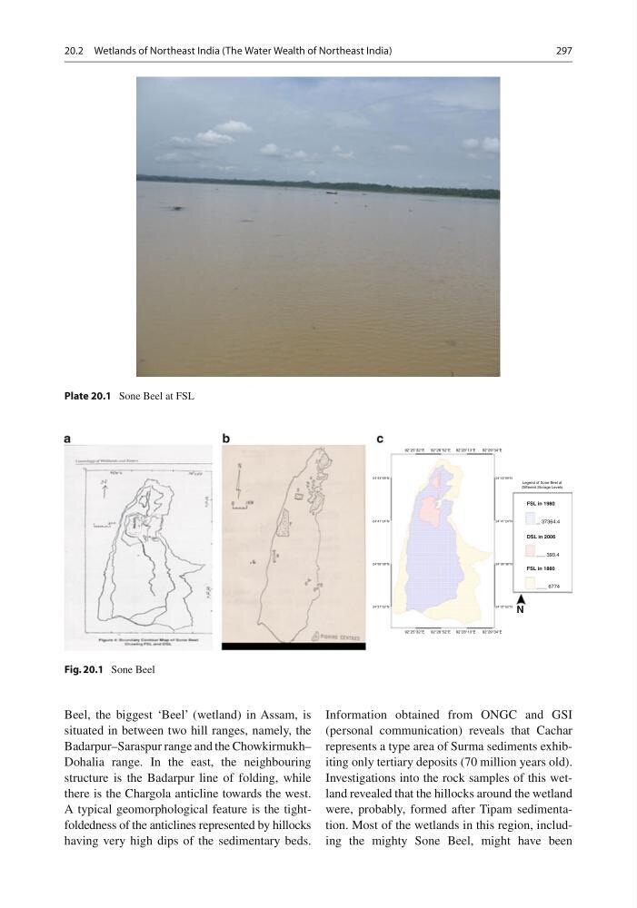
Plate 20.1 Sone Beel at FSL
24°43°09°N
24°43°09°N
24°41°24°N
24°41°24°N
24°39°38°N
24°39°38°N
24°37°52°N
24°37°52°N
92°25°32°E
92°26°52°E 92°28°13°E
92°29°34°E
92°25°32°E
92°26°52°E 92°28°13°E
92°29°34°E
Legend of Sone Beel at
Different Storage Levels
FSL in 1980
FSL in 1880
DSL in 2006
37364.4
393.4
6774
N
Fig. 20.1 Sone Beel
20.2 Wetlands of Northeast India (The Water Wealth of Northeast India)
Beel, the biggest ‘Beel’ (wetland) in Assam, is
situated in between two hill ranges, namely, the
Badarpur–Saraspur range and the Chowkirmukh–
Dohalia range. In the east, the neighbouring
structure is the Badarpur line of folding, while
there is the Chargola anticline towards the west.
A typical geomorphological feature is the tightfoldedness of the anticlines represented by hillocks
having very high dips of the sedimentary beds.
Information obtained from ONGC and GSI
(personal communication) reveals that Cachar
represents a type area of Surma sediments exhibiting only tertiary deposits (70 million years old).
Investigations into the rock samples of this wetland revealed that the hillocks around the wetland
were, probably, formed after Tipam sedimentation. Most of the wetlands in this region, including the mighty Sone Beel, might have been
Plate 20.1 Sone Beel at FSL
24°43°09°N
24°43°09°N
24°41°24°N
24°41°24°N
24°39°38°N
24°39°38°N
24°37°52°N
24°37°52°N
92°25°32°E
92°26°52°E 92°28°13°E
92°29°34°E
92°25°32°E
92°26°52°E 92°28°13°E
92°29°34°E
Legend of Sone Beel at
Different Storage Levels
FSL in 1980
FSL in 1880
DSL in 2006
37364.4
393.4
6774
N
Fig. 20.1 Sone Beel
20.2 Wetlands of Northeast India (The Water Wealth of Northeast India)