

Grol1-Enzersdo
Lo
10
•
o
Spatial Modeling of Nitrogen Leaching
37
iden
10
20 Kilometers
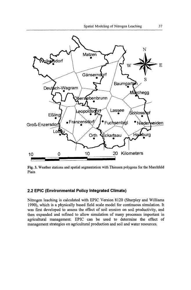
Fig. 3. Weather stations and spatial segmentation with Thiessen polygons for the Marchfeld
Plain
2.2 EPIC (Environmental Policy Integrated Climate)
Nitrogen leaching is calculated with EPIC Version 8120 (Sharpley and Williams
1990), which is a physically based field scale model for continuous simulation. It
was first developed to assess the effect of soil erosion on soil productivity, and
then expanded and refined to allow simulation of many processes important in
agricultural management. EPIC can be used to determine the effect of
management strategies on agricultural production and soil and water resources.
Lo
10
•
o
Spatial Modeling of Nitrogen Leaching
37
iden
10
20 Kilometers
Fig. 3. Weather stations and spatial segmentation with Thiessen polygons for the Marchfeld
Plain
2.2 EPIC (Environmental Policy Integrated Climate)
Nitrogen leaching is calculated with EPIC Version 8120 (Sharpley and Williams
1990), which is a physically based field scale model for continuous simulation. It
was first developed to assess the effect of soil erosion on soil productivity, and
then expanded and refined to allow simulation of many processes important in
agricultural management. EPIC can be used to determine the effect of
management strategies on agricultural production and soil and water resources.