

Spatial Modeling of Nitrogen Leaching
35
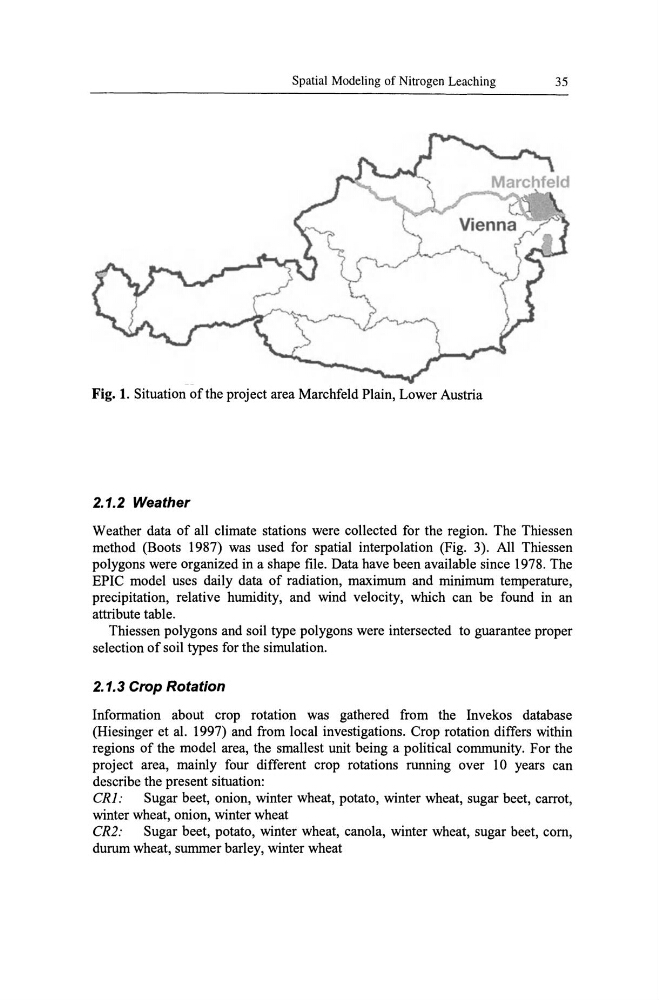
Fig. 1. Situation of the project area Marchfeld Plain, Lower Austria
2.1.2 Weather
Weather data of all climate stations were collected for the region. The Thiessen
method (Boots 1987) was used for spatial interpolation (Fig. 3). All Thiessen
polygons were organized in a shape file. Data have been available since 1978. The
EPIC model uses daily data of radiation, maximum and minimum temperature,
precipitation, relative humidity, and wind velocity, which can be found in an
attribute table.
Thiessen polygons and soil type polygons were intersected to guarantee proper
selection of soil types for the simulation.
2.1.3 Crop Rotation
Information about crop rotation was gathered from the Invekos database
(Hiesinger et al. 1997) and from local investigations. Crop rotation differs within
regions of the model area, the smallest unit being a political community. For the
project area, mainly four different crop rotations running over 10 years can
describe the present situation:
CRJ:
Sugar beet, onion, winter wheat, potato, winter wheat, sugar beet, carrot,
winter wheat, onion, winter wheat
CR2:
Sugar beet, potato, winter wheat, canoia, winter wheat, sugar beet, com,
durum wheat, summer barley, winter wheat
35
Fig. 1. Situation of the project area Marchfeld Plain, Lower Austria
2.1.2 Weather
Weather data of all climate stations were collected for the region. The Thiessen
method (Boots 1987) was used for spatial interpolation (Fig. 3). All Thiessen
polygons were organized in a shape file. Data have been available since 1978. The
EPIC model uses daily data of radiation, maximum and minimum temperature,
precipitation, relative humidity, and wind velocity, which can be found in an
attribute table.
Thiessen polygons and soil type polygons were intersected to guarantee proper
selection of soil types for the simulation.
2.1.3 Crop Rotation
Information about crop rotation was gathered from the Invekos database
(Hiesinger et al. 1997) and from local investigations. Crop rotation differs within
regions of the model area, the smallest unit being a political community. For the
project area, mainly four different crop rotations running over 10 years can
describe the present situation:
CRJ:
Sugar beet, onion, winter wheat, potato, winter wheat, sugar beet, carrot,
winter wheat, onion, winter wheat
CR2:
Sugar beet, potato, winter wheat, canoia, winter wheat, sugar beet, com,
durum wheat, summer barley, winter wheat