

24
Water In Ecosystems: A Non Renewable Resource
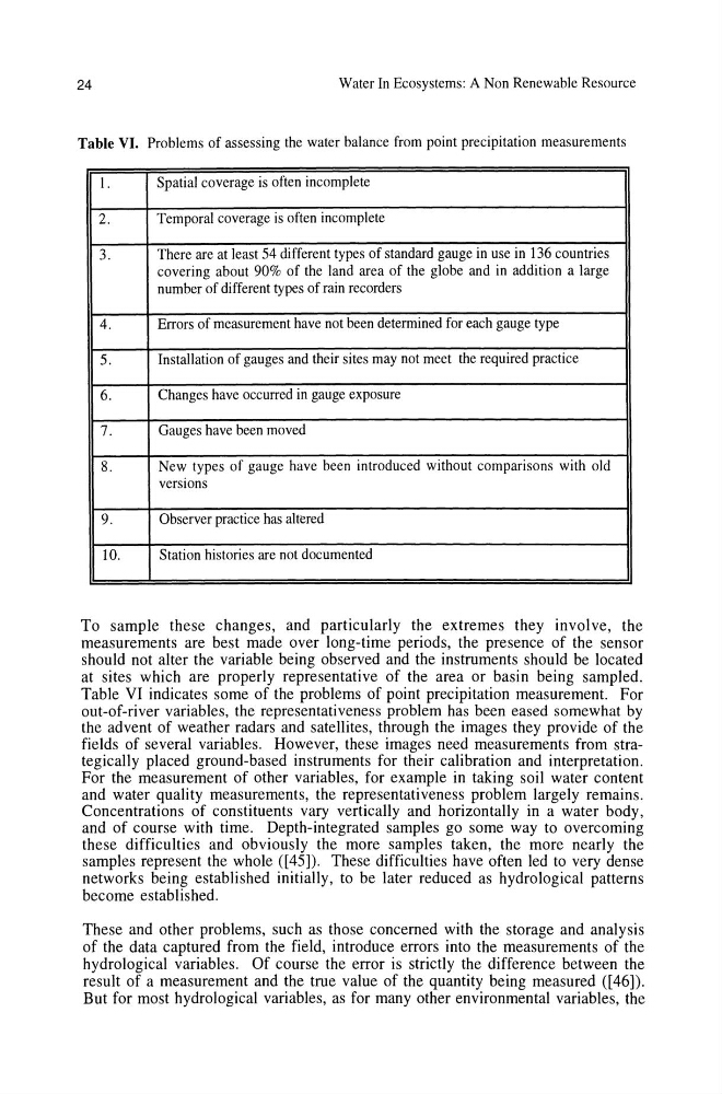
Table VI. Problems of assessing the water balance from point precipitation measurements
I.
Spatial coverage is often incomplete
2.
Temporal coverage is often incomplete
3.
There are at least 54 different types of standard gauge in use in 136 countries
covering about 90% of the land area of the globe and in addition a large
number of different types of rain recorders
4.
Errors of measurement have not been determined for each gauge type
5.
InstaIIation of gauges and their sites may not meet the required practice
6.
Changes have occurred in gauge exposure
7.
Gauges have been moved
8.
New types of gauge have been introduced without comparisons with old
versions
9.
Observer practice has altered
10.
Station histories are not documented
To sample these changes, and particularly the extremes they involve, the
measurements are best made over long-time periods, the presence of the sensor
should not alter the variable being observed and the instruments should be located
at sites which are properly representative of the area or basin being sampled.
Table VI indicates some of the problems of point precipitation measurement. For
out-of-river variables, the representativeness problem has been eased somewhat by
the advent of weather radars and satellites, through the images they provide of the
fields of several variables. However, these images need measurements from strategically placed ground-based instruments for their calibration and interpretation.
For the measurement of other variables, for example in taking soil water content
and water quality measurements, the representativeness problem largely remains.
Concentrations of constituents vary vertically and horizontally in a water body,
and of course with time. Depth-integrated samples go some way to overcoming
these difficulties and obviously the more samples taken, the more nearly the
samples represent the whole ([45]). These difficulties have often led to very dense
networks being established initially, to be later reduced as hydrological patterns
become established.
These and other problems, such as those concerned with the storage and analysis
of the data captured from the field, introduce errors into the measurements of the
hydrological variables. Of course the error is strictly the difference between the
result of a measurement and the true value of the quantity being measured ([46]).
But for most hydrological variables, as for many other environmental variables, the
Water In Ecosystems: A Non Renewable Resource
Table VI. Problems of assessing the water balance from point precipitation measurements
I.
Spatial coverage is often incomplete
2.
Temporal coverage is often incomplete
3.
There are at least 54 different types of standard gauge in use in 136 countries
covering about 90% of the land area of the globe and in addition a large
number of different types of rain recorders
4.
Errors of measurement have not been determined for each gauge type
5.
InstaIIation of gauges and their sites may not meet the required practice
6.
Changes have occurred in gauge exposure
7.
Gauges have been moved
8.
New types of gauge have been introduced without comparisons with old
versions
9.
Observer practice has altered
10.
Station histories are not documented
To sample these changes, and particularly the extremes they involve, the
measurements are best made over long-time periods, the presence of the sensor
should not alter the variable being observed and the instruments should be located
at sites which are properly representative of the area or basin being sampled.
Table VI indicates some of the problems of point precipitation measurement. For
out-of-river variables, the representativeness problem has been eased somewhat by
the advent of weather radars and satellites, through the images they provide of the
fields of several variables. However, these images need measurements from strategically placed ground-based instruments for their calibration and interpretation.
For the measurement of other variables, for example in taking soil water content
and water quality measurements, the representativeness problem largely remains.
Concentrations of constituents vary vertically and horizontally in a water body,
and of course with time. Depth-integrated samples go some way to overcoming
these difficulties and obviously the more samples taken, the more nearly the
samples represent the whole ([45]). These difficulties have often led to very dense
networks being established initially, to be later reduced as hydrological patterns
become established.
These and other problems, such as those concerned with the storage and analysis
of the data captured from the field, introduce errors into the measurements of the
hydrological variables. Of course the error is strictly the difference between the
result of a measurement and the true value of the quantity being measured ([46]).
But for most hydrological variables, as for many other environmental variables, the