

water transfer
Perspective view
ICIMOD-MENRIS 1993
Channel/pipe
proposal
River
303
Fig. 2. Melamchi-Sundarijal Water Transfer: Spot Relief View Digital Elevation Model above
1600 m altitude overlaid by the Channel/Pipe Proposal. Sun elevation 35° and azimuth
100°, Observator elevation 20° and azimuth 150 0 (after ICIMOD). (see also page 168)
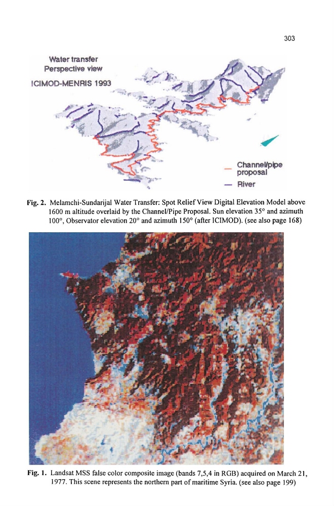
Fig. 1. Landsat MSS false color composite image (bands 7,5,4 in ROB) acquired on March 21,
1977. This scene represents the northern part of maritime Syria. (see also page 199)
Perspective view
ICIMOD-MENRIS 1993
Channel/pipe
proposal
River
303
Fig. 2. Melamchi-Sundarijal Water Transfer: Spot Relief View Digital Elevation Model above
1600 m altitude overlaid by the Channel/Pipe Proposal. Sun elevation 35° and azimuth
100°, Observator elevation 20° and azimuth 150 0 (after ICIMOD). (see also page 168)
Fig. 1. Landsat MSS false color composite image (bands 7,5,4 in ROB) acquired on March 21,
1977. This scene represents the northern part of maritime Syria. (see also page 199)