

34
O. Musard et al.
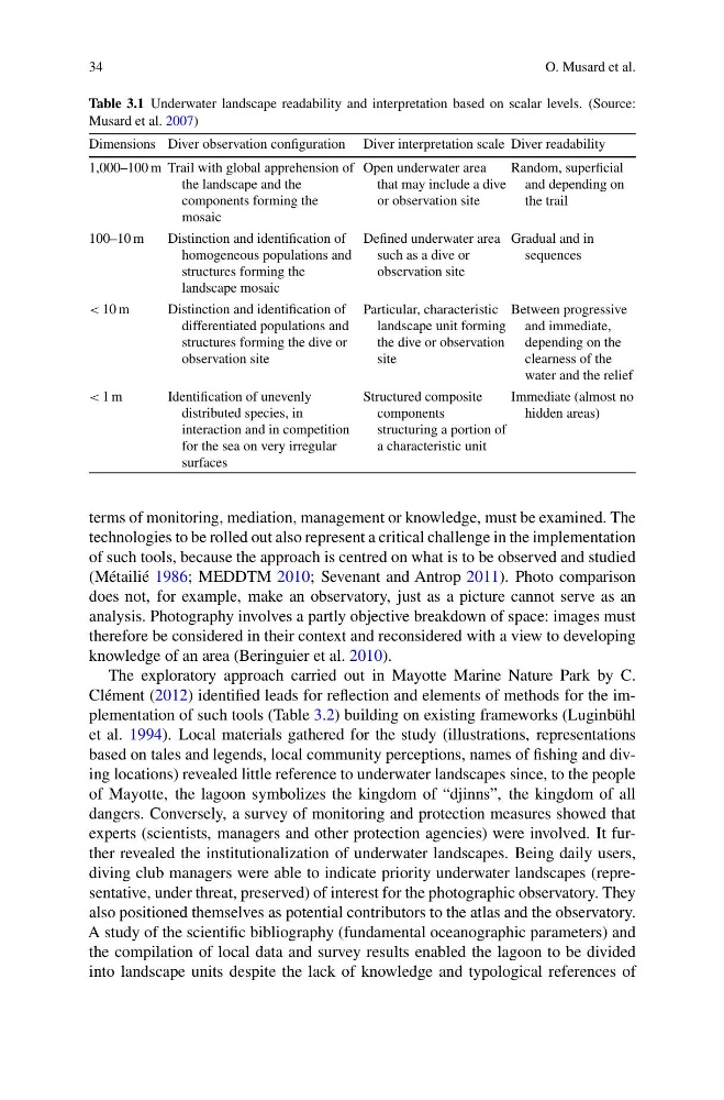
Table 3.1 Underwater landscape readability and interpretation based on scalar levels. (Source:
Musard et al. 2007)
Dimensions Diver observation configuration Diver interpretation scale Diver readability
1,000–100 m Trail with global apprehension of
the landscape and the
components forming the
mosaic
Open underwater area
that may include a dive
or observation site
Random, superficial
and depending on
the trail
100–10 m
Distinction and identification of
homogeneous populations and
structures forming the
landscape mosaic
Defined underwater area
such as a dive or
observation site
Gradual and in
sequences
< 10 m
Distinction and identification of
differentiated populations and
structures forming the dive or
observation site
Particular, characteristic
landscape unit forming
the dive or observation
site
Between progressive
and immediate,
depending on the
clearness of the
water and the relief
< 1 m
Identification of unevenly
distributed species, in
interaction and in competition
for the sea on very irregular
surfaces
Structured composite
components
structuring a portion of
a characteristic unit
Immediate (almost no
hidden areas)
terms of monitoring, mediation, management or knowledge, must be examined. The
technologies to be rolled out also represent a critical challenge in the implementation
of such tools, because the approach is centred on what is to be observed and studied
(Métailié 1986; MEDDTM 2010; Sevenant and Antrop 2011). Photo comparison
does not, for example, make an observatory, just as a picture cannot serve as an
analysis. Photography involves a partly objective breakdown of space: images must
therefore be considered in their context and reconsidered with a view to developing
knowledge of an area (Beringuier et al. 2010).
The exploratory approach carried out in Mayotte Marine Nature Park by C.
Clément (2012) identified leads for reflection and elements of methods for the implementation of such tools (Table 3.2) building on existing frameworks (Luginbühl
et al. 1994). Local materials gathered for the study (illustrations, representations
based on tales and legends, local community perceptions, names of fishing and diving locations) revealed little reference to underwater landscapes since, to the people
of Mayotte, the lagoon symbolizes the kingdom of “djinns”, the kingdom of all
dangers. Conversely, a survey of monitoring and protection measures showed that
experts (scientists, managers and other protection agencies) were involved. It further revealed the institutionalization of underwater landscapes. Being daily users,
diving club managers were able to indicate priority underwater landscapes (representative, under threat, preserved) of interest for the photographic observatory. They
also positioned themselves as potential contributors to the atlas and the observatory.
A study of the scientific bibliography (fundamental oceanographic parameters) and
the compilation of local data and survey results enabled the lagoon to be divided
into landscape units despite the lack of knowledge and typological references of
O. Musard et al.
Table 3.1 Underwater landscape readability and interpretation based on scalar levels. (Source:
Musard et al. 2007)
Dimensions Diver observation configuration Diver interpretation scale Diver readability
1,000–100 m Trail with global apprehension of
the landscape and the
components forming the
mosaic
Open underwater area
that may include a dive
or observation site
Random, superficial
and depending on
the trail
100–10 m
Distinction and identification of
homogeneous populations and
structures forming the
landscape mosaic
Defined underwater area
such as a dive or
observation site
Gradual and in
sequences
< 10 m
Distinction and identification of
differentiated populations and
structures forming the dive or
observation site
Particular, characteristic
landscape unit forming
the dive or observation
site
Between progressive
and immediate,
depending on the
clearness of the
water and the relief
< 1 m
Identification of unevenly
distributed species, in
interaction and in competition
for the sea on very irregular
surfaces
Structured composite
components
structuring a portion of
a characteristic unit
Immediate (almost no
hidden areas)
terms of monitoring, mediation, management or knowledge, must be examined. The
technologies to be rolled out also represent a critical challenge in the implementation
of such tools, because the approach is centred on what is to be observed and studied
(Métailié 1986; MEDDTM 2010; Sevenant and Antrop 2011). Photo comparison
does not, for example, make an observatory, just as a picture cannot serve as an
analysis. Photography involves a partly objective breakdown of space: images must
therefore be considered in their context and reconsidered with a view to developing
knowledge of an area (Beringuier et al. 2010).
The exploratory approach carried out in Mayotte Marine Nature Park by C.
Clément (2012) identified leads for reflection and elements of methods for the implementation of such tools (Table 3.2) building on existing frameworks (Luginbühl
et al. 1994). Local materials gathered for the study (illustrations, representations
based on tales and legends, local community perceptions, names of fishing and diving locations) revealed little reference to underwater landscapes since, to the people
of Mayotte, the lagoon symbolizes the kingdom of “djinns”, the kingdom of all
dangers. Conversely, a survey of monitoring and protection measures showed that
experts (scientists, managers and other protection agencies) were involved. It further revealed the institutionalization of underwater landscapes. Being daily users,
diving club managers were able to indicate priority underwater landscapes (representative, under threat, preserved) of interest for the photographic observatory. They
also positioned themselves as potential contributors to the atlas and the observatory.
A study of the scientific bibliography (fundamental oceanographic parameters) and
the compilation of local data and survey results enabled the lagoon to be divided
into landscape units despite the lack of knowledge and typological references of