

284
Atllantic
BOW
J.e. Oliveira and G. Cabe"adas
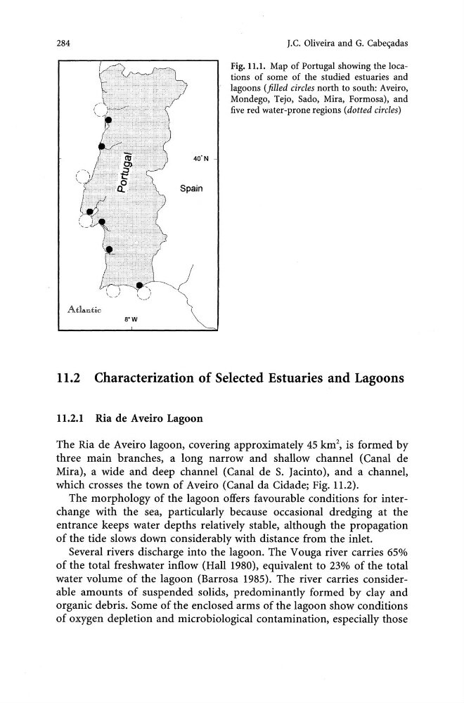
Fig. 11.1. Map of Portugal showing the locations of some of the studied estuaries and
lagoons (filled circles north to south: Aveiro,
Mondego, Tejo, Sado, Mira, Formosa), and
five red water-prone regions (dotted circles)
11.2 Characterization of Selected Estuaries and Lagoons
11.2.1 Ria de Aveiro Lagoon
The Ria de Aveiro lagoon, covering approximately 45 km 2 , is formed by
three main branches, a long narrow and shallow channel (Canal de
Mira), a wide and deep channel (Canal de S. Jacinto), and a channel,
which crosses the town of Aveiro (Canal da Cidade; Fig. 11.2).
The morphology of the lagoon offers favourable conditions for interchange with the sea, particularly because occasional dredging at the
entrance keeps water depths relatively stable, although the propagation
of the tide slows down considerably with distance from the inlet.
Several rivers discharge into the lagoon. The V ouga river carries 65%
of the total freshwater inflow (Hall 1980), equivalent to 23% of the total
water volume of the lagoon (Barrosa 1985). The river carries considerable amounts of suspended solids, predominantly formed by clay and
organic debris. Some of the enclosed arms of the lagoon show conditions
of oxygen depletion and microbiological contamination, especially those
Atllantic
BOW
J.e. Oliveira and G. Cabe"adas
Fig. 11.1. Map of Portugal showing the locations of some of the studied estuaries and
lagoons (filled circles north to south: Aveiro,
Mondego, Tejo, Sado, Mira, Formosa), and
five red water-prone regions (dotted circles)
11.2 Characterization of Selected Estuaries and Lagoons
11.2.1 Ria de Aveiro Lagoon
The Ria de Aveiro lagoon, covering approximately 45 km 2 , is formed by
three main branches, a long narrow and shallow channel (Canal de
Mira), a wide and deep channel (Canal de S. Jacinto), and a channel,
which crosses the town of Aveiro (Canal da Cidade; Fig. 11.2).
The morphology of the lagoon offers favourable conditions for interchange with the sea, particularly because occasional dredging at the
entrance keeps water depths relatively stable, although the propagation
of the tide slows down considerably with distance from the inlet.
Several rivers discharge into the lagoon. The V ouga river carries 65%
of the total freshwater inflow (Hall 1980), equivalent to 23% of the total
water volume of the lagoon (Barrosa 1985). The river carries considerable amounts of suspended solids, predominantly formed by clay and
organic debris. Some of the enclosed arms of the lagoon show conditions
of oxygen depletion and microbiological contamination, especially those