

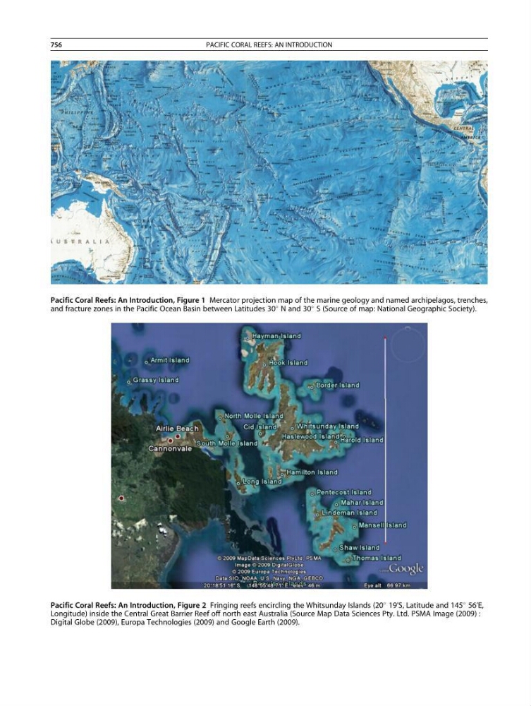
Pacific Coral Reefs: An Introduction, Figure 1 Mercator projection map of the marine geology and named archipelagos, trenches,
and fracture zones in the Pacific Ocean Basin between Latitudes 30
N and 30
S (Source of map: National Geographic Society).
Pacific Coral Reefs: An Introduction, Figure 2 Fringing reefs encircling the Whitsunday Islands (20
19’S, Latitude and 145
56’E,
Longitude) inside the Central Great Barrier Reef off north east Australia (Source Map Data Sciences Pty. Ltd. PSMA Image (2009) :
Digital Globe (2009), Europa Technologies (2009) and Google Earth (2009).
756
PACIFIC CORAL REEFS: AN INTRODUCTION
and fracture zones in the Pacific Ocean Basin between Latitudes 30
N and 30
S (Source of map: National Geographic Society).
Pacific Coral Reefs: An Introduction, Figure 2 Fringing reefs encircling the Whitsunday Islands (20
19’S, Latitude and 145
56’E,
Longitude) inside the Central Great Barrier Reef off north east Australia (Source Map Data Sciences Pty. Ltd. PSMA Image (2009) :
Digital Globe (2009), Europa Technologies (2009) and Google Earth (2009).
756
PACIFIC CORAL REEFS: AN INTRODUCTION