

presently uses a Web browser. Equally important is the ability of modelers
to access different data sources and types quickly with minimal manipulation. Ideally, toolkit users would view cyberspace as nothing more than an
extension of their local computers.
12.2.2 Interoperability Protocols and Standards
Productive use of any integrated toolkit, particularly for decision makers
and stakeholders, requires the establishment and use of protocols (standardized methods that connect software components and their outputs) for
interoperable data archiving and retrieval, database development, metadata presentation, and tool linkage (such as GIS-to-model connectivity).
Examples of protocol developments, particularly those associated with the
linkage of models, analytical tools, and information technologies, are discussed by Leavesley et al. (1996), Holland and Goran (1999), and Whelan
et al. (1997). Crowe (2000) discusses several modeling environments, including the Spatial Modeling Environment and the Environmental Systems
Research Institute’s ModelBuilder (ESRI 2000). Such products represent
candidate development environments for achieving and enforcing interoperability through the use of standards and protocols.
Several other initiatives are under way, such as the development of the
Hierarchical Data Format (National Center for Supercomputing Applications 2001) and the activities of the Open GIS Consortium (OGC) [see
Lake (2000)], that hold the promise of providing such protocols. Several
agencies of the U.S. government are partnering (Case et al. 2000) in the
development and promulgation of such standards, often in collaboration
with the OGC.
12. Role of Computational Toolkits in Environmental Management
227
- Web Empowerment and Implementation
- Interoperability Protocols and Standards
- Conceptualization and Collaboration Tools
- Integration of Improved Science in Decisions
- Knowledge Repositories and Management
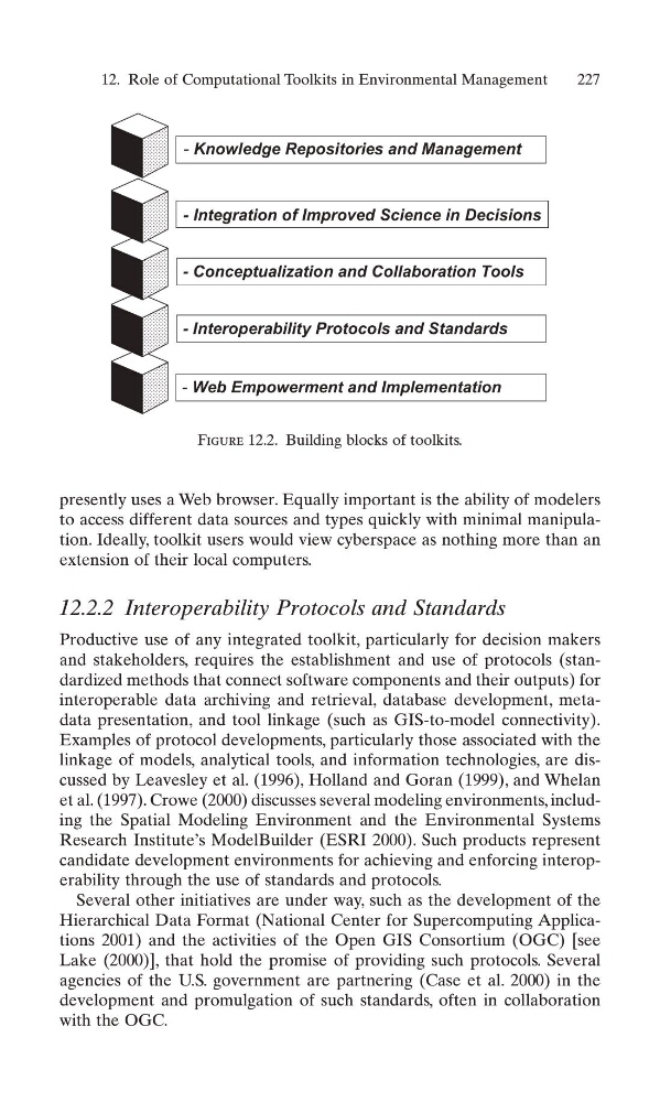
Figure 12.2. Building blocks of toolkits.
to access different data sources and types quickly with minimal manipulation. Ideally, toolkit users would view cyberspace as nothing more than an
extension of their local computers.
12.2.2 Interoperability Protocols and Standards
Productive use of any integrated toolkit, particularly for decision makers
and stakeholders, requires the establishment and use of protocols (standardized methods that connect software components and their outputs) for
interoperable data archiving and retrieval, database development, metadata presentation, and tool linkage (such as GIS-to-model connectivity).
Examples of protocol developments, particularly those associated with the
linkage of models, analytical tools, and information technologies, are discussed by Leavesley et al. (1996), Holland and Goran (1999), and Whelan
et al. (1997). Crowe (2000) discusses several modeling environments, including the Spatial Modeling Environment and the Environmental Systems
Research Institute’s ModelBuilder (ESRI 2000). Such products represent
candidate development environments for achieving and enforcing interoperability through the use of standards and protocols.
Several other initiatives are under way, such as the development of the
Hierarchical Data Format (National Center for Supercomputing Applications 2001) and the activities of the Open GIS Consortium (OGC) [see
Lake (2000)], that hold the promise of providing such protocols. Several
agencies of the U.S. government are partnering (Case et al. 2000) in the
development and promulgation of such standards, often in collaboration
with the OGC.
12. Role of Computational Toolkits in Environmental Management
227
- Web Empowerment and Implementation
- Interoperability Protocols and Standards
- Conceptualization and Collaboration Tools
- Integration of Improved Science in Decisions
- Knowledge Repositories and Management
Figure 12.2. Building blocks of toolkits.