

Siegel1 et al.: Paleoclimatic Indicators from Permafrost Sequences
479
Limited information exists about the climatic and environmental development during the
Kargin (Middle Weichselian) Interstadial period, which is believed to have lasted from about
55000 to 24000 years BP (Alexeev et a!., 1984). According to Andreeva and Kind (1982), this
period was marked by unstable climatic conditions with alternating warmer and cooler phases in
the Taymyr region.
For this reason, the objectives of our studies were to obtain records which permit the
reconstruction of the environmental history in the study area since Post-Zyryan times, and to
test the proposed concept of a "Pre-Labaz" during the Sartan period.
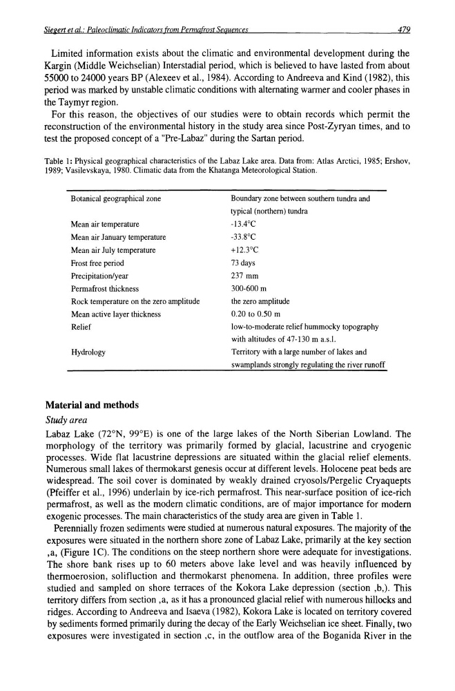
Table 1: Physical geographical characteristics of the Labaz Lake area. Data from: Atlas Arctici, 1985; Ershov,
1989; Vasilevskaya, 1980. Climatic data from the Khatanga Meteorological Station.
Botanical geographical zone
Mean air temperature
Mean air January temperature
Mean air July temperature
Frost free period
Precipitation/year
Permafrost thickness
Rock temperature on the zero amplitude
Mean active layer thickness
Relief
Hydrology
Material and methods
Study area
Boundary zone between southern tundra and
typical (northern) tundra
-13.4°C
-33.8°C
+12.3°C
73 days
237 mm
300-600 m
the zero amplitude
0.20 to 0.50 m
low-to-moderate relief hummocky topography
with altitudes of 47-130 m a.s.l.
Territory with a large number of lakes and
swamplands strongly regulating the river runoff
Labaz Lake (nON, 99°E) is one of the large lakes of the North Siberian Lowland. The
morphology of the territory was primarily formed by glacial, lacustrine and cryogenic
processes. Wide flat lacustrine depressions are situated within the glacial relief elements.
Numerous small lakes of thermokarst genesis occur at different levels. Holocene peat beds are
widespread. The soil cover is dominated by weakly drained cryosolslPergelic Cryaquepts
(Pfeiffer et a!., 1996) underlain by ice-rich permafrost. This near-surface position of ice-rich
permafrost, as well as the modern climatic conditions, are of major importance for modern
exogenic processes. The main characteristics of the study area are given in Table 1.
Perennially frozen sediments were studied at numerous natural exposures. The majority of the
exposures were situated in the northern shore zone of Labaz Lake, primarily at the key section
,a, (Figure IC). The conditions on the steep northern shore were adequate for investigations.
The shore bank rises up to 60 meters above lake level and was heavily influenced by
thermoerosion, solifluction and thermokarst phenomena. In addition, three profiles were
studied and sampled on shore terraces of the Kokora Lake depression (section ,b,). This
territory differs from section ,a, as it has a pronounced glacial relief with numerous hillocks and
ridges. According to Andreeva and Isaeva (1982), Kokora Lake is located on territory covered
by sediments formed primarily during the decay of the Early Weichselian ice sheet. Finally, two
exposures were investigated in section ,c, in the outflow area of the Boganida River in the
479
Limited information exists about the climatic and environmental development during the
Kargin (Middle Weichselian) Interstadial period, which is believed to have lasted from about
55000 to 24000 years BP (Alexeev et a!., 1984). According to Andreeva and Kind (1982), this
period was marked by unstable climatic conditions with alternating warmer and cooler phases in
the Taymyr region.
For this reason, the objectives of our studies were to obtain records which permit the
reconstruction of the environmental history in the study area since Post-Zyryan times, and to
test the proposed concept of a "Pre-Labaz" during the Sartan period.
Table 1: Physical geographical characteristics of the Labaz Lake area. Data from: Atlas Arctici, 1985; Ershov,
1989; Vasilevskaya, 1980. Climatic data from the Khatanga Meteorological Station.
Botanical geographical zone
Mean air temperature
Mean air January temperature
Mean air July temperature
Frost free period
Precipitation/year
Permafrost thickness
Rock temperature on the zero amplitude
Mean active layer thickness
Relief
Hydrology
Material and methods
Study area
Boundary zone between southern tundra and
typical (northern) tundra
-13.4°C
-33.8°C
+12.3°C
73 days
237 mm
300-600 m
the zero amplitude
0.20 to 0.50 m
low-to-moderate relief hummocky topography
with altitudes of 47-130 m a.s.l.
Territory with a large number of lakes and
swamplands strongly regulating the river runoff
Labaz Lake (nON, 99°E) is one of the large lakes of the North Siberian Lowland. The
morphology of the territory was primarily formed by glacial, lacustrine and cryogenic
processes. Wide flat lacustrine depressions are situated within the glacial relief elements.
Numerous small lakes of thermokarst genesis occur at different levels. Holocene peat beds are
widespread. The soil cover is dominated by weakly drained cryosolslPergelic Cryaquepts
(Pfeiffer et a!., 1996) underlain by ice-rich permafrost. This near-surface position of ice-rich
permafrost, as well as the modern climatic conditions, are of major importance for modern
exogenic processes. The main characteristics of the study area are given in Table 1.
Perennially frozen sediments were studied at numerous natural exposures. The majority of the
exposures were situated in the northern shore zone of Labaz Lake, primarily at the key section
,a, (Figure IC). The conditions on the steep northern shore were adequate for investigations.
The shore bank rises up to 60 meters above lake level and was heavily influenced by
thermoerosion, solifluction and thermokarst phenomena. In addition, three profiles were
studied and sampled on shore terraces of the Kokora Lake depression (section ,b,). This
territory differs from section ,a, as it has a pronounced glacial relief with numerous hillocks and
ridges. According to Andreeva and Isaeva (1982), Kokora Lake is located on territory covered
by sediments formed primarily during the decay of the Early Weichselian ice sheet. Finally, two
exposures were investigated in section ,c, in the outflow area of the Boganida River in the