

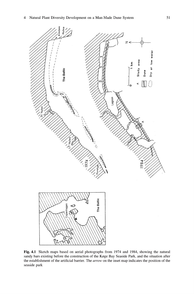
Fig. 4.1 Sketch maps based on aerial photographs from 1974 and 1984, showing the natural
sandy bars existing before the construction of the Køge Bay Seaside Park, and the situation after
the establishment of the artificial barrier. The arrow on the inset map indicates the position of the
seaside park
4 Natural Plant Diversity Development on a Man-Made Dune System
51
sandy bars existing before the construction of the Køge Bay Seaside Park, and the situation after
the establishment of the artificial barrier. The arrow on the inset map indicates the position of the
seaside park
4 Natural Plant Diversity Development on a Man-Made Dune System
51