

between Catuneanu Chart and Chart INT 3820/2016 (see Fig. 33.31) show the
precision and the accuracy how Catuneanu Chart had been drawn, taking into
account the limited means of that period and it expresses the admiration of the
Romanian hydrographers and cartographers for our predecessors work.
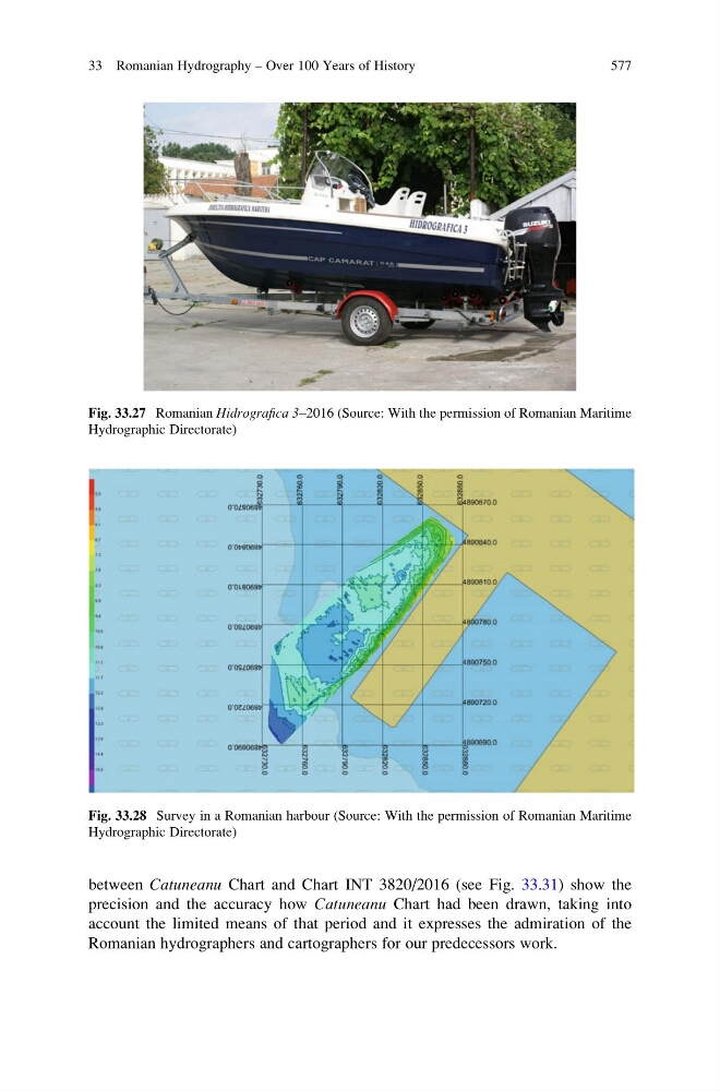
Fig. 33.27 Romanian Hidrografica 3–2016 (Source: With the permission of Romanian Maritime
Hydrographic Directorate)
Fig. 33.28 Survey in a Romanian harbour (Source: With the permission of Romanian Maritime
Hydrographic Directorate)
33 Romanian Hydrography – Over 100 Years of History
577
precision and the accuracy how Catuneanu Chart had been drawn, taking into
account the limited means of that period and it expresses the admiration of the
Romanian hydrographers and cartographers for our predecessors work.
Fig. 33.27 Romanian Hidrografica 3–2016 (Source: With the permission of Romanian Maritime
Hydrographic Directorate)
Fig. 33.28 Survey in a Romanian harbour (Source: With the permission of Romanian Maritime
Hydrographic Directorate)
33 Romanian Hydrography – Over 100 Years of History
577