

Chilia; Chart 1.050.01, From Vama Veche to Capul Tuzla; Chart 1.050.02, From
Capul Tuzla to Capul Midia; Chart 1.050.03 From Midia to Grindul Chituc; Chart
1.050.04, From Grindul Chituc to Zaton; Chart 1.050.05, From Zaton to Sf^ antu
Gheorghe; Chart 1.050.06, From Gura Sf^ antu Gheorghe to Gura Musura, and the
first electronic navigation charts: 1.025.02 Portul Constantza, and 1.050.01,
1.050.02, 1.050.02, 1.050.03, 1.050.04, 1.050.05, 1.050.06, 1.300.01, 1.750.01
ENC’s) (Popa 2016).
In the 2007–2009 period it was developed The Romanian Naval Forces Integrated Meteorological System, integrated in The Romanian National Meteorological System, contains modern automatic weather stations that transmit real-time
standard weather parameters in the adjacent littoral area, located at the Romanian
Lighthouses.
In January 2007, The Maritime Hydrographic Directorate became the representative of the Romanian Government, as a member of the International Hydrographic
Organization (see Fig. 33.17).
Also, M.H.D. became also member in the “Mediterranean and the Black Sea
Hydrographic Commission” (MBSHC), and in the “Black and Azov Seas Working
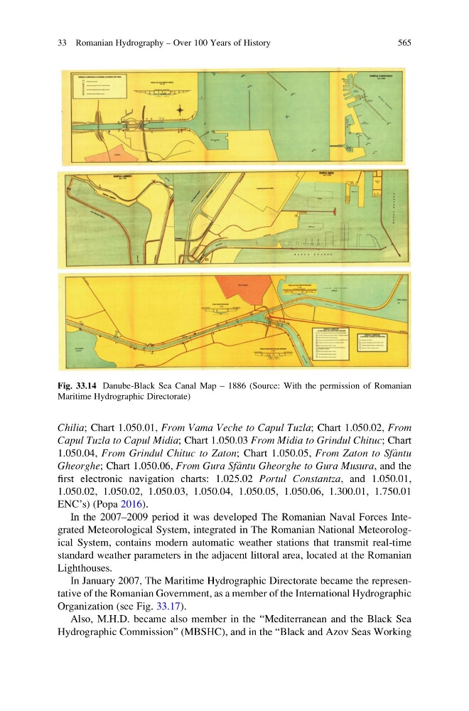
Fig. 33.14 Danube-Black Sea Canal Map – 1886 (Source: With the permission of Romanian
Maritime Hydrographic Directorate)
33 Romanian Hydrography – Over 100 Years of History
565
Capul Tuzla to Capul Midia; Chart 1.050.03 From Midia to Grindul Chituc; Chart
1.050.04, From Grindul Chituc to Zaton; Chart 1.050.05, From Zaton to Sf^ antu
Gheorghe; Chart 1.050.06, From Gura Sf^ antu Gheorghe to Gura Musura, and the
first electronic navigation charts: 1.025.02 Portul Constantza, and 1.050.01,
1.050.02, 1.050.02, 1.050.03, 1.050.04, 1.050.05, 1.050.06, 1.300.01, 1.750.01
ENC’s) (Popa 2016).
In the 2007–2009 period it was developed The Romanian Naval Forces Integrated Meteorological System, integrated in The Romanian National Meteorological System, contains modern automatic weather stations that transmit real-time
standard weather parameters in the adjacent littoral area, located at the Romanian
Lighthouses.
In January 2007, The Maritime Hydrographic Directorate became the representative of the Romanian Government, as a member of the International Hydrographic
Organization (see Fig. 33.17).
Also, M.H.D. became also member in the “Mediterranean and the Black Sea
Hydrographic Commission” (MBSHC), and in the “Black and Azov Seas Working
Fig. 33.14 Danube-Black Sea Canal Map – 1886 (Source: With the permission of Romanian
Maritime Hydrographic Directorate)
33 Romanian Hydrography – Over 100 Years of History
565