

complex maritime research, with a program exclusively hydrologic in case of
studying the whole shelf of western and northwestern Black Sea (Romania got
five sections: Sulina, east oriented, measuring 90 miles, and two shorter profiles
measuring 30 miles each: Gura Portit ¸ei oriented east-south-east and Constanta,
east oriented);
(c) 1970–1977, a better stage coverage of the entire Romanian continental shelf
stations (program remains as previously established, as well as the seasonal
pace of the campaigns) and, in addition, there are provided fixed multidiurnal
stations.
Between 1971 and 1973 took place the second hydrographic campaign in the
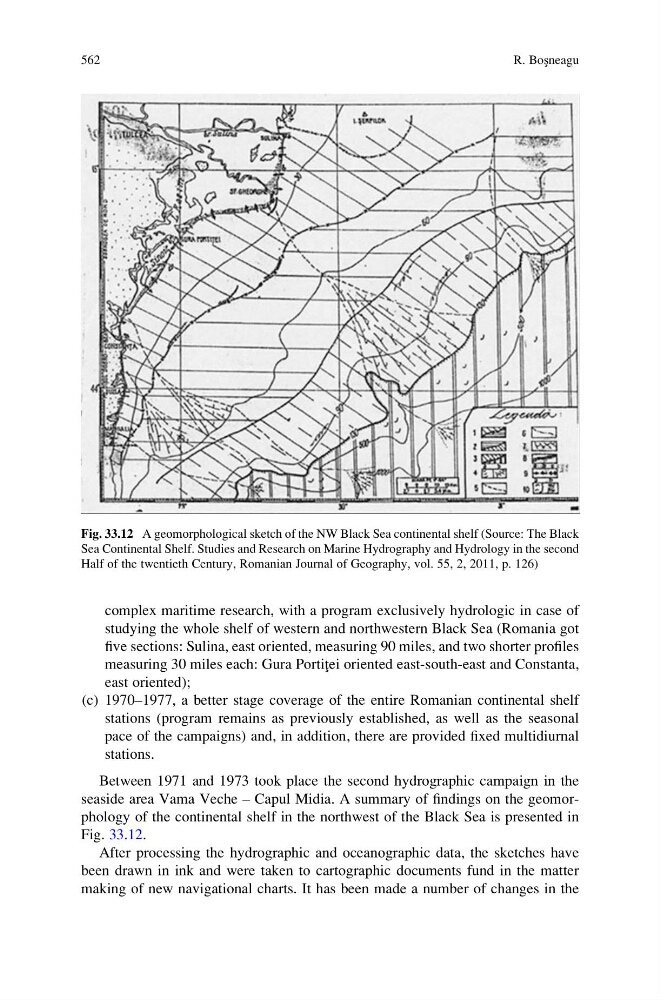
seaside area Vama Veche – Capul Midia. A summary of findings on the geomorphology of the continental shelf in the northwest of the Black Sea is presented in
Fig. 33.12.
After processing the hydrographic and oceanographic data, the sketches have
been drawn in ink and were taken to cartographic documents fund in the matter
making of new navigational charts. It has been made a number of changes in the
Fig. 33.12 A geomorphological sketch of the NW Black Sea continental shelf (Source: The Black
Sea Continental Shelf. Studies and Research on Marine Hydrography and Hydrology in the second
Half of the twentieth Century, Romanian Journal of Geography, vol. 55, 2, 2011, p. 126)
562
R. Bos ¸neagu
studying the whole shelf of western and northwestern Black Sea (Romania got
five sections: Sulina, east oriented, measuring 90 miles, and two shorter profiles
measuring 30 miles each: Gura Portit ¸ei oriented east-south-east and Constanta,
east oriented);
(c) 1970–1977, a better stage coverage of the entire Romanian continental shelf
stations (program remains as previously established, as well as the seasonal
pace of the campaigns) and, in addition, there are provided fixed multidiurnal
stations.
Between 1971 and 1973 took place the second hydrographic campaign in the
seaside area Vama Veche – Capul Midia. A summary of findings on the geomorphology of the continental shelf in the northwest of the Black Sea is presented in
Fig. 33.12.
After processing the hydrographic and oceanographic data, the sketches have
been drawn in ink and were taken to cartographic documents fund in the matter
making of new navigational charts. It has been made a number of changes in the
Fig. 33.12 A geomorphological sketch of the NW Black Sea continental shelf (Source: The Black
Sea Continental Shelf. Studies and Research on Marine Hydrography and Hydrology in the second
Half of the twentieth Century, Romanian Journal of Geography, vol. 55, 2, 2011, p. 126)
562
R. Bos ¸neagu