

at the Universal Exhibition held in the French capital. It was updated and reprinted
in 1929 (see Fig. 33.6) and it was used in the Romanian Navy until 1952.
In 1900, during the Romanian-Bulgarian border demarcation, the Romanian
officers had performed a hydrographical survey mission in the Danube basin,
i.e. near Silistra – Gura Vaii (Valley’s Mouth) area, after that being drawn up a
Danube map at a scale of 1:50,000, (see Fig. 33.7), respectively another map of
Ostroavele area at 1:20,000 scale.
In 1904, in Galati, it was established a River Hydrographic and Piloting Service
of the Romanian Navy, within it had operated a river piloting practice school.
Fig. 33.4 Photo:
Commander Alexandru
Catuneanu (Source: http://
portret-al-comandoruluialexandru-catuneanu/)
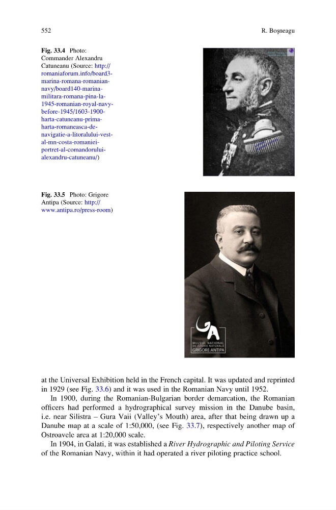
Fig. 33.5 Photo: Grigore
Antipa (Source: http://
www.antipa.ro/press-room)
552
R. Bos ¸neagu
in 1929 (see Fig. 33.6) and it was used in the Romanian Navy until 1952.
In 1900, during the Romanian-Bulgarian border demarcation, the Romanian
officers had performed a hydrographical survey mission in the Danube basin,
i.e. near Silistra – Gura Vaii (Valley’s Mouth) area, after that being drawn up a
Danube map at a scale of 1:50,000, (see Fig. 33.7), respectively another map of
Ostroavele area at 1:20,000 scale.
In 1904, in Galati, it was established a River Hydrographic and Piloting Service
of the Romanian Navy, within it had operated a river piloting practice school.
Fig. 33.4 Photo:
Commander Alexandru
Catuneanu (Source: http://
portret-al-comandoruluialexandru-catuneanu/)
Fig. 33.5 Photo: Grigore
Antipa (Source: http://
www.antipa.ro/press-room)
552
R. Bos ¸neagu