

336
A.M.J. Meijerink and C.M.M. Mannaerts
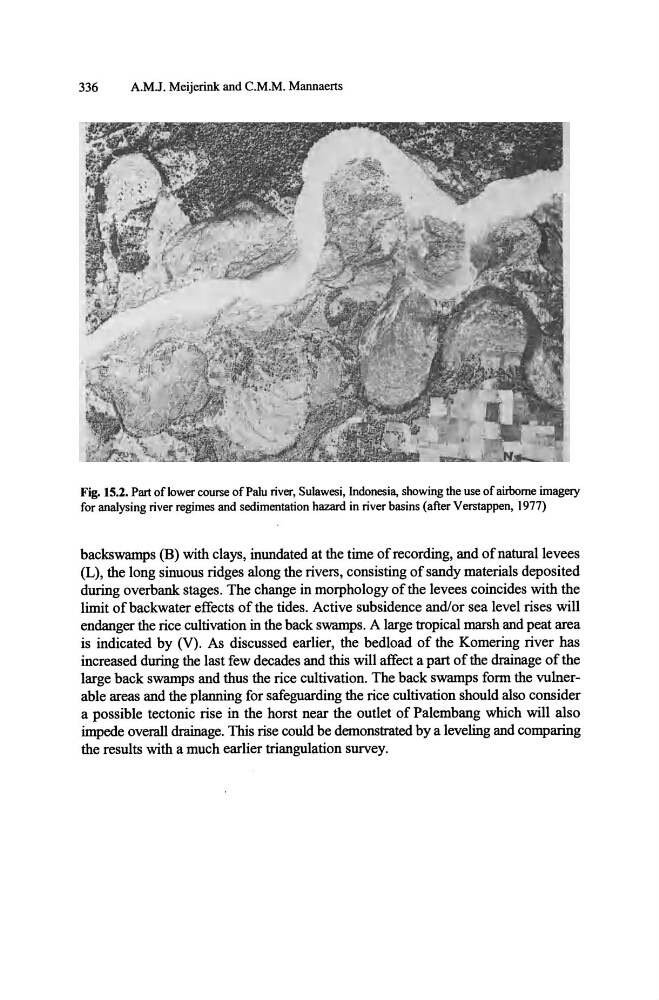
Fig. 15.2. Part of lower course of Palu river, Sulawesi, Indonesia, showing the use of airborne imagery
for analysing river regimes and sedimentation hazard in river basins (after Verstappen, 1977)
backswamps (B) with clays, inundated at the time of recording, and of natural levees
(L), the long sinuous ridges along the rivers, consisting of sandy materials deposited
during overbank stages. The change in morphology of the levees coincides with the
limit of backwater effects of the tides. Active subsidence and/or sea level rises will
endanger the rice cultivation in the back swamps. A large tropical marsh and peat area
is indicated by (V). As discussed earlier, the bedload of the Komering river has
increased during the last few decades and this will affect a part of the drainage of the
large back swamps and thus the rice cultivation. The back swamps form the vulnerable areas and the planning for safeguarding the rice cultivation should also consider
a possible tectonic rise in the horst near the outlet of Palembang which will also
impede overall drainage. This rise could be demonstrated by a leveling and comparing
the results with a much earlier triangulation survey.
A.M.J. Meijerink and C.M.M. Mannaerts
Fig. 15.2. Part of lower course of Palu river, Sulawesi, Indonesia, showing the use of airborne imagery
for analysing river regimes and sedimentation hazard in river basins (after Verstappen, 1977)
backswamps (B) with clays, inundated at the time of recording, and of natural levees
(L), the long sinuous ridges along the rivers, consisting of sandy materials deposited
during overbank stages. The change in morphology of the levees coincides with the
limit of backwater effects of the tides. Active subsidence and/or sea level rises will
endanger the rice cultivation in the back swamps. A large tropical marsh and peat area
is indicated by (V). As discussed earlier, the bedload of the Komering river has
increased during the last few decades and this will affect a part of the drainage of the
large back swamps and thus the rice cultivation. The back swamps form the vulnerable areas and the planning for safeguarding the rice cultivation should also consider
a possible tectonic rise in the horst near the outlet of Palembang which will also
impede overall drainage. This rise could be demonstrated by a leveling and comparing
the results with a much earlier triangulation survey.