

14 Groundwater
313
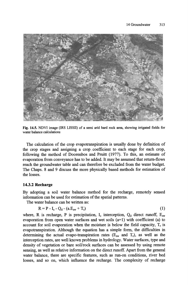
Fig. 14.5. NDVI image (IRS LISSII) of a semi arid hard rock area, showing irrigated fields for
water balance calculations
The calculation of the crop evapotranspiration is usually done by defInition of
the crop stages and assigning a crop. coefficient to each stage for each crop,
following the method of Doorenbos and Pruitt (1977). To this, an estimate of
evaporation from conveyance has to be added. It may be assumed that return-flows
reach the groundwater table and can therefore be excluded from the water budget.
The Chaps. 8 and 9 discuss the more physically based methods for estimation of
the losses.
14.3.2 Recharge
By adopting a soil water balance method for the recharge, remotely sensed
information can be used for estimation of the spatial patterns.
The water balance can be written as:
(1)
where, R is recharge, P is precipitation, Ie interception, Qd direct runoff, Esw
evaporation from open water surfaces and wet soils (a=l) with coefficient (a) to
account for soil evaporation when the moisture is below the fIeld capacity, Tr is
evapotranspiration. Although the equation has a simple form, the difficulties in
determining the actual evapo-transpiration rates (Esw and Tr), as well as the
interception rates, are well known problems in hydrology. Water surfaces, type and
density of vegetation or bare soil/rock surfaces can be assessed by using remote
sensing, as well as relative information on the direct runoff. Apart from the general
water balance, there are specifIc features, such as run-on conditions, river bed
losses, and so on, which influence the recharge. The complexity of recharge
313
Fig. 14.5. NDVI image (IRS LISSII) of a semi arid hard rock area, showing irrigated fields for
water balance calculations
The calculation of the crop evapotranspiration is usually done by defInition of
the crop stages and assigning a crop. coefficient to each stage for each crop,
following the method of Doorenbos and Pruitt (1977). To this, an estimate of
evaporation from conveyance has to be added. It may be assumed that return-flows
reach the groundwater table and can therefore be excluded from the water budget.
The Chaps. 8 and 9 discuss the more physically based methods for estimation of
the losses.
14.3.2 Recharge
By adopting a soil water balance method for the recharge, remotely sensed
information can be used for estimation of the spatial patterns.
The water balance can be written as:
(1)
where, R is recharge, P is precipitation, Ie interception, Qd direct runoff, Esw
evaporation from open water surfaces and wet soils (a=l) with coefficient (a) to
account for soil evaporation when the moisture is below the fIeld capacity, Tr is
evapotranspiration. Although the equation has a simple form, the difficulties in
determining the actual evapo-transpiration rates (Esw and Tr), as well as the
interception rates, are well known problems in hydrology. Water surfaces, type and
density of vegetation or bare soil/rock surfaces can be assessed by using remote
sensing, as well as relative information on the direct runoff. Apart from the general
water balance, there are specifIc features, such as run-on conditions, river bed
losses, and so on, which influence the recharge. The complexity of recharge