

187
MODIS-Based Snow Cover Products, Validation, and Hydrologic Applications
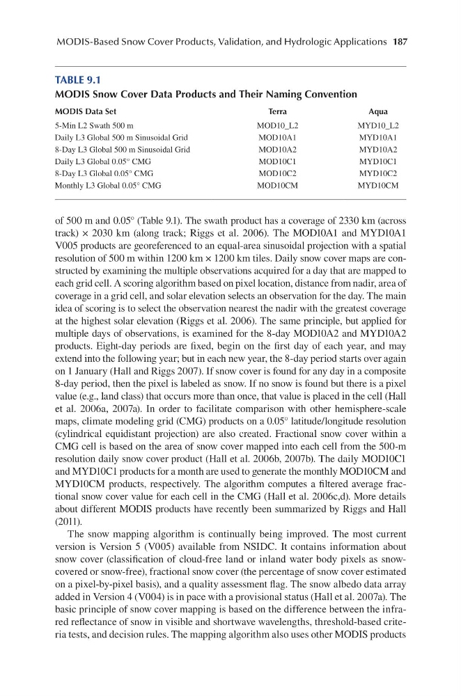
of 500 m and 0.05° (Table 9.1). The swath product has a coverage of 2330 km (across
track) × 2030 km (along track; Riggs et al. 2006). The MOD10A1 and MYD10A1
V005 products are georeferenced to an equal-area sinusoidal projection with a spatial
resolution of 500 m within 1200 km × 1200 km tiles. Daily snow cover maps are constructed by examining the multiple observations acquired for a day that are mapped to
each grid cell. A scoring algorithm based on pixel location, distance from nadir, area of
coverage in a grid cell, and solar elevation selects an observation for the day. The main
idea of scoring is to select the observation nearest the nadir with the greatest coverage
at the highest solar elevation (Riggs et al. 2006). The same principle, but applied for
multiple days of observations, is examined for the 8-day MOD10A2 and MYD10A2
products. Eight-day periods are fixed, begin on the first day of each year, and may
extend into the following year; but in each new year, the 8-day period starts over again
on 1 January (Hall and Riggs 2007). If snow cover is found for any day in a composite
8-day period, then the pixel is labeled as snow. If no snow is found but there is a pixel
value (e.g., land class) that occurs more than once, that value is placed in the cell (Hall
et al. 2006a, 2007a). In order to facilitate comparison with other hemisphere-scale
maps, climate modeling grid (CMG) products on a 0.05° latitude/longitude resolution
(cylindrical equidistant projection) are also created. Fractional snow cover within a
CMG cell is based on the area of snow cover mapped into each cell from the 500-m
resolution daily snow cover product (Hall et al. 2006b, 2007b). The daily MOD10C1
and MYD10C1 products for a month are used to generate the monthly MOD10CM and
MYD10CM products, respectively. The algorithm computes a filtered average fractional snow cover value for each cell in the CMG (Hall et al. 2006c,d). More details
about different MODIS products have recently been summarized by Riggs and Hall
(2011).
The snow mapping algorithm is continually being improved. The most current
version is Version 5 (V005) available from NSIDC. It contains information about
snow cover (classification of cloud-free land or inland water body pixels as snowcovered or snow-free), fractional snow cover (the percentage of snow cover estimated
on a pixel-by-pixel basis), and a quality assessment flag. The snow albedo data array
added in Version 4 (V004) is in pace with a provisional status (Hall et al. 2007a). The
basic principle of snow cover mapping is based on the difference between the infrared reflectance of snow in visible and shortwave wavelengths, threshold-based criteria tests, and decision rules. The mapping algorithm also uses other MODIS products
TABLE 9.1
MODIS Snow Cover Data Products and Their Naming Convention
MODIS Data Set
Terra
Aqua
5-Min L2 Swath 500 m
MOD10_L2
MYD10_L2
Daily L3 Global 500 m Sinusoidal Grid
MOD10A1
MYD10A1
8-Day L3 Global 500 m Sinusoidal Grid
MOD10A2
MYD10A2
Daily L3 Global 0.05° CMG
MOD10C1
MYD10C1
8-Day L3 Global 0.05° CMG
MOD10C2
MYD10C2
Monthly L3 Global 0.05° CMG
MOD10CM
MYD10CM
MODIS-Based Snow Cover Products, Validation, and Hydrologic Applications
of 500 m and 0.05° (Table 9.1). The swath product has a coverage of 2330 km (across
track) × 2030 km (along track; Riggs et al. 2006). The MOD10A1 and MYD10A1
V005 products are georeferenced to an equal-area sinusoidal projection with a spatial
resolution of 500 m within 1200 km × 1200 km tiles. Daily snow cover maps are constructed by examining the multiple observations acquired for a day that are mapped to
each grid cell. A scoring algorithm based on pixel location, distance from nadir, area of
coverage in a grid cell, and solar elevation selects an observation for the day. The main
idea of scoring is to select the observation nearest the nadir with the greatest coverage
at the highest solar elevation (Riggs et al. 2006). The same principle, but applied for
multiple days of observations, is examined for the 8-day MOD10A2 and MYD10A2
products. Eight-day periods are fixed, begin on the first day of each year, and may
extend into the following year; but in each new year, the 8-day period starts over again
on 1 January (Hall and Riggs 2007). If snow cover is found for any day in a composite
8-day period, then the pixel is labeled as snow. If no snow is found but there is a pixel
value (e.g., land class) that occurs more than once, that value is placed in the cell (Hall
et al. 2006a, 2007a). In order to facilitate comparison with other hemisphere-scale
maps, climate modeling grid (CMG) products on a 0.05° latitude/longitude resolution
(cylindrical equidistant projection) are also created. Fractional snow cover within a
CMG cell is based on the area of snow cover mapped into each cell from the 500-m
resolution daily snow cover product (Hall et al. 2006b, 2007b). The daily MOD10C1
and MYD10C1 products for a month are used to generate the monthly MOD10CM and
MYD10CM products, respectively. The algorithm computes a filtered average fractional snow cover value for each cell in the CMG (Hall et al. 2006c,d). More details
about different MODIS products have recently been summarized by Riggs and Hall
(2011).
The snow mapping algorithm is continually being improved. The most current
version is Version 5 (V005) available from NSIDC. It contains information about
snow cover (classification of cloud-free land or inland water body pixels as snowcovered or snow-free), fractional snow cover (the percentage of snow cover estimated
on a pixel-by-pixel basis), and a quality assessment flag. The snow albedo data array
added in Version 4 (V004) is in pace with a provisional status (Hall et al. 2007a). The
basic principle of snow cover mapping is based on the difference between the infrared reflectance of snow in visible and shortwave wavelengths, threshold-based criteria tests, and decision rules. The mapping algorithm also uses other MODIS products
TABLE 9.1
MODIS Snow Cover Data Products and Their Naming Convention
MODIS Data Set
Terra
Aqua
5-Min L2 Swath 500 m
MOD10_L2
MYD10_L2
Daily L3 Global 500 m Sinusoidal Grid
MOD10A1
MYD10A1
8-Day L3 Global 500 m Sinusoidal Grid
MOD10A2
MYD10A2
Daily L3 Global 0.05° CMG
MOD10C1
MYD10C1
8-Day L3 Global 0.05° CMG
MOD10C2
MYD10C2
Monthly L3 Global 0.05° CMG
MOD10CM
MYD10CM