

244 Paleoceanography - the Deep-Sea Record
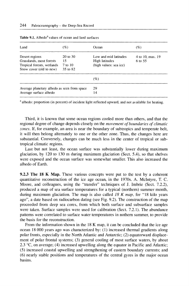
Table 9.1. Albedo' values of ocean and land surfaces
Land
(%)
Desert regions
20 to 30
Grasslands, most forests
15
Tropical forests, wetlands 7 to 10
Snow cover (old to new)
35 to 82
Ocean
Low and mid latitudes
High latitudes
(high values: sea ice)
(%)
Average planetary albedo as seen from space
29
Average surface albedo
14
(%)
4 to 10, max. 19
6 to 55
a albedo: proportion (in percent) of incident light reflected upward, and not available for heating.
Third, it is known that some ocean regions cooled more than others, and that the
regional degree of change depends closely on the movement of boundaries of climatic
zones. If, for example, an area is near the boundary of subtropics and temperate belt,
it will then belong alternately to one or the other zone. Thus, the changes here are
substantial. Conversely, changes can be much less in the center of tropical or subtropical climatic regions.
Last but not least, the ocean surface was substantially lower during maximum
glaciation, by 120 to 130 m during maximum glaciation (Sect. 5.4), so that shelves
were exposed and the ocean surface was somewhat smaller. This also increased the
albedo of Earth.
9.2.3 The 18 K Map. These various concepts were put to the test by a coherent
quantitative reconstruction of the ice age ocean, in the 1970s. A. McIntyre, T. C.
Moore, and colleagues, using the "transfer" techniques of J. Imbrie (Sect. 7.2.2),
produced a map of sea surface temperatures for a typical (northern) summer month,
during maximum glaciation. The map is also called 18 K map, for "18 kilo years
ago", a date based on radiocarbon dating (see Fig. 9.2). The construction of the map
proceeded from deep sea cores, from which both surface and subsurface samples
were taken. Surface samples were used for calibration (Sect. 7.2.1). The abundance
patterns were correlated to surface water temperatures in nothern summer, to provide
the basis for the reconstruction.
From the information shown in the 18 K map, it can be concluded that the ice age
ocean 18 000 years ago was characterized by: (l) increased thermal gradients along
polar fronts, especially in the North Atlantic and Antarctic; (2) equatorward displacement of polar frontal systems; (3) general cooling of most surface waters, by about
2.3 DC, on average; (4) increased upwelling along the equator in Pacific and Atlantic;
(5) increased coastal upwelling and strengthening of eastern boundary currents; and
(6) nearly stable positions and temperatures of the central gyres in the major ocean
basins.
Table 9.1. Albedo' values of ocean and land surfaces
Land
(%)
Desert regions
20 to 30
Grasslands, most forests
15
Tropical forests, wetlands 7 to 10
Snow cover (old to new)
35 to 82
Ocean
Low and mid latitudes
High latitudes
(high values: sea ice)
(%)
Average planetary albedo as seen from space
29
Average surface albedo
14
(%)
4 to 10, max. 19
6 to 55
a albedo: proportion (in percent) of incident light reflected upward, and not available for heating.
Third, it is known that some ocean regions cooled more than others, and that the
regional degree of change depends closely on the movement of boundaries of climatic
zones. If, for example, an area is near the boundary of subtropics and temperate belt,
it will then belong alternately to one or the other zone. Thus, the changes here are
substantial. Conversely, changes can be much less in the center of tropical or subtropical climatic regions.
Last but not least, the ocean surface was substantially lower during maximum
glaciation, by 120 to 130 m during maximum glaciation (Sect. 5.4), so that shelves
were exposed and the ocean surface was somewhat smaller. This also increased the
albedo of Earth.
9.2.3 The 18 K Map. These various concepts were put to the test by a coherent
quantitative reconstruction of the ice age ocean, in the 1970s. A. McIntyre, T. C.
Moore, and colleagues, using the "transfer" techniques of J. Imbrie (Sect. 7.2.2),
produced a map of sea surface temperatures for a typical (northern) summer month,
during maximum glaciation. The map is also called 18 K map, for "18 kilo years
ago", a date based on radiocarbon dating (see Fig. 9.2). The construction of the map
proceeded from deep sea cores, from which both surface and subsurface samples
were taken. Surface samples were used for calibration (Sect. 7.2.1). The abundance
patterns were correlated to surface water temperatures in nothern summer, to provide
the basis for the reconstruction.
From the information shown in the 18 K map, it can be concluded that the ice age
ocean 18 000 years ago was characterized by: (l) increased thermal gradients along
polar fronts, especially in the North Atlantic and Antarctic; (2) equatorward displacement of polar frontal systems; (3) general cooling of most surface waters, by about
2.3 DC, on average; (4) increased upwelling along the equator in Pacific and Atlantic;
(5) increased coastal upwelling and strengthening of eastern boundary currents; and
(6) nearly stable positions and temperatures of the central gyres in the major ocean
basins.