

Model Development for Passive Microwave Remote Sensing ...
591
21.5 Appendix
ESA's Earth Observation Programme
This annex will give a short overview of ESA's existing and planned Earth observation satellites.
It will briefly describe the sensors onboard the satellites and highlight the application areas.
In addition, the concept of Earth Explorer and Earth Watch missions for the next century is
explained.
A.I ERS-I and ERS-2
The European Earth Remote Sensing Satellite ERS-l, launched in July 1991, has during the last
successful years of operation demonstrated the promising use of radar satellite technology for
Earth observation. Originally designed as an ice and oceanic mission, ERS-l has proven to be
also useful for land applications. As the full achievements of the use of ERS-l data goes beyond
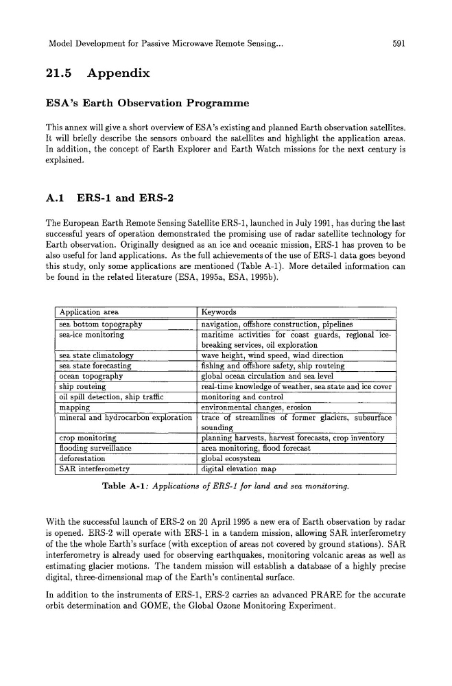
this study, only some applications are mentioned (Table A-I). More detailed information can
be found in the related literature (ESA, 1995a, ESA, 1995b).
I Application area
I Keywords
sea bottom topography
navigation, offshore construction, pipelines
sea-ice monitoring
maritime activities for coast guards, regional icebreaking services, oil exploration
sea state climatology
wave height, wind speed, wind direction
sea state forecasting
fishing and offshore safety, ship routeing
ocean topography
global ocean circulation and sea level
ship routeing
real-time knowledge of weather, sea state and ice cover
oil spill detection, ship traffic
monitoring and control
mapping
environmental changes, erosion
mineral and hydrocarbon exploration trace of streamlines of former glaciers, subsurface
sounding
crop monitoring
planning harvests, harvest forecasts, crop inventory
flooding surveillance
area monitoring, flood forecast
deforestation
global ecosystem
SAR interferometry
digital elevation map
Table A-I: Applications of ERS-l for land and sea monitoring.
With the successful launch of ERS-2 on 20 April 1995 a new era of Earth observation by radar
is opened. ERS-2 will operate with ERS-l in a tandem mission, allowing SAR interferometry
of the the whole Earth's surface (with exception of areas not covered by ground stations). SAR
interferometry is already used for observing earthquakes, monitoring volcanic areas as well as
estimating glacier motions. The tandem mission will establish a database of a highly precise
digital, three-dimensional map of the Earth's continental surface.
In addition to the instruments of ERS-l, ERS-2 carries an advanced PRARE for the accurate
orbit determination and GOME, the Global Ozone Monitoring Experiment.