

3 Methodology
3.1 Design the Methodological Framework
Data from empirical studies and data from remote sensing were analyzed to explore
the whole landscape in its multi-temporal and multidisciplinary dimensions. To
determine the impact of scenario development in the region we have collected the
data sets for the last three to four decades through the empirical studies and have
also gathered some information from secondary sources such as the Census of India
(2001). The theoretical model was developed while evaluating the whole system in
space and time (Nautiyal and Kaechele 2009). To understand the process of how the
people have been changing their activities due to a variety of factors (such as
environmental, policy, socioeconomic), and therefore, how the natural ecosystems
have also changed with human activities, a long-term study of a region is needed.
The work conducted during the past decade in the Himalayan region of India
facilitates the start of work in this direction, and thus the work plan for the data
analysis was developed (Fig. 2). The whole framework is categorized in four parts
(A, B, C, and D). Part ‘A’ comprises long-term empirical studies and theory to
understand the science of whole landscape management and development of the
theoretical model. Part ‘B’ is associated with the development of the conceptual
model in the framework and has now been completed. Part ‘C’ is ongoing with the
development of the software solution; however, part ‘D’ is the upcoming activities
needed to implement for our results and outcome in the real-world scenario. The
advantage of our research done thus far is to invite researchers from multiple
disciplines for their suggestions in our ongoing activities so that it would be possible to make necessary amendment (if needed) in the procedure. This approach is
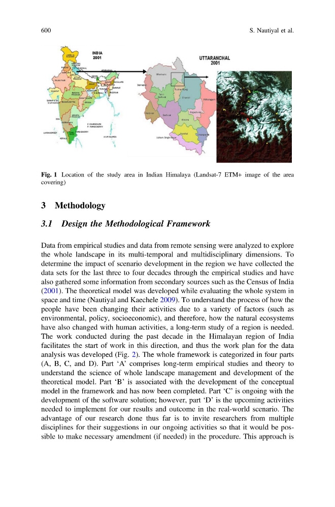
Fig. 1 Location of the study area in Indian Himalaya (Landsat-7 ETM+ image of the area
covering)
600
S. Nautiyal et al.