

Gerardo M.E. Perillo . M. Cintia Piccolo
39'00"
" .. ,
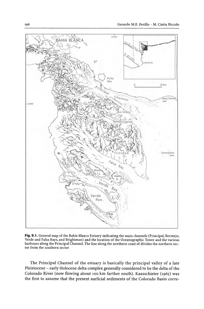
Fig. 9.1. General map of the Bahia Blanca Estuary indicating the main channels (Principal, Bermejo,
Verde and Falsa Bays, and Brightman) and the location of the Oceanographic Tower and the various
harbours along the Principal Channel. The line along the northern coast of divides the northern sector from the southern sector
The Principal Channel of the estuary is basically the principal valley of a late
Pleistocene - early Holocene delta complex generally considered to be the delta of the
Colorado River (now flowing about 100 km farther south). Kaasschieter (1965) was
the first to assume that the present surficial sediments of the Colorado Basin corre-
39'00"
" .. ,
Fig. 9.1. General map of the Bahia Blanca Estuary indicating the main channels (Principal, Bermejo,
Verde and Falsa Bays, and Brightman) and the location of the Oceanographic Tower and the various
harbours along the Principal Channel. The line along the northern coast of divides the northern sector from the southern sector
The Principal Channel of the estuary is basically the principal valley of a late
Pleistocene - early Holocene delta complex generally considered to be the delta of the
Colorado River (now flowing about 100 km farther south). Kaasschieter (1965) was
the first to assume that the present surficial sediments of the Colorado Basin corre-