

92
3 Non-geometry standards
standard of the U.S. (Federal Geographie Data Committee). The design of ISO
19115 follows the ISOIIEC 11179 that addresses the speeifieation and standardisation of data elements.
W ork is eurrently eontinuing in an attempt to align the existing metadata standards to the ISO 19115.
The Dublin Core Metadata Element Set is a basic standard for the resouree deseription in the IT -business and in partieular, in library management. This standard
was developed by the Dublin Core Metadata Initiative in eooperation with the NISO
(National Information Standards Organization, USA), and approved by ANSI as
ANSIINISO Z39.85 - 200l. The Dublin Core defines only 15 metadata elements beeause simplieity lowers the eost of ereating metadata and promotes interoperability.
On the other hand, simplieity does not aeeommodate the semantie and funetional
riehness supported by eomplex metadata sehemes. The design of Dublin eore mitigates this loss by eneouraging the use of rieher metadata sehemes in eombination
with Dublin Core. The name Dublin Core refers to Dublin, Ohio, USA, where the
first workshop ofthe initiative was held in 1995.
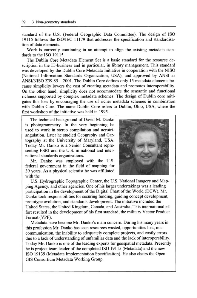
The teehnieal background of David M. Danko
is photogrammetry. In the very beginning he
used to work in stereo eompilation and aerotriangulation. Later he studied Geography and Cartography at the University of Maryland, USA.
Today Mr. Danko is a Senior Consultant representing ESRI and the U.S. in national and international standards organizations.
Mr. Danko was employed with the U.S.
federal government in the field of mapping for
39 years. As a physieal seientist he was affiliated
with the
U.S. Hydrographie Topographie Center, the U.S. National Imagery and Mapping Ageney, and other ageneies. One ofhis larger undertakings was a leading
partieipation in the development ofthe Digital Chart ofthe World (DCW). Mr.
Danko took responsibilities for seeuring funding, guiding eoneept development,
prototype evolution, and standards development. The initiative inc1uded the
United States, the United Kingdom, Canada, and Australia. This international effort resulted in the development of his first standard, the military Veetor Produet
Format (VPF).
Metadata have beeome Mr. Danko's main eoneern. During his many years in
this profession Mr. Danko has seen resourees wasted, opportunities lost, miseommunieation, the inability to adequately eomplete projeets, and eostly errors
due to a lack of understanding of unfamiliar data and the lack of interoperability.
Today Mr. Danko is one ofthe leading experts for geospatial metadata. Presently
he is projeet team leader ofthe eompleted ISO 19115 (Metadata) and the new
ISO 19139 (Metadata Implementation Speeifieation). He also ehairs the Open
GIS Consortium Metadata Working Group.
3 Non-geometry standards
standard of the U.S. (Federal Geographie Data Committee). The design of ISO
19115 follows the ISOIIEC 11179 that addresses the speeifieation and standardisation of data elements.
W ork is eurrently eontinuing in an attempt to align the existing metadata standards to the ISO 19115.
The Dublin Core Metadata Element Set is a basic standard for the resouree deseription in the IT -business and in partieular, in library management. This standard
was developed by the Dublin Core Metadata Initiative in eooperation with the NISO
(National Information Standards Organization, USA), and approved by ANSI as
ANSIINISO Z39.85 - 200l. The Dublin Core defines only 15 metadata elements beeause simplieity lowers the eost of ereating metadata and promotes interoperability.
On the other hand, simplieity does not aeeommodate the semantie and funetional
riehness supported by eomplex metadata sehemes. The design of Dublin eore mitigates this loss by eneouraging the use of rieher metadata sehemes in eombination
with Dublin Core. The name Dublin Core refers to Dublin, Ohio, USA, where the
first workshop ofthe initiative was held in 1995.
The teehnieal background of David M. Danko
is photogrammetry. In the very beginning he
used to work in stereo eompilation and aerotriangulation. Later he studied Geography and Cartography at the University of Maryland, USA.
Today Mr. Danko is a Senior Consultant representing ESRI and the U.S. in national and international standards organizations.
Mr. Danko was employed with the U.S.
federal government in the field of mapping for
39 years. As a physieal seientist he was affiliated
with the
U.S. Hydrographie Topographie Center, the U.S. National Imagery and Mapping Ageney, and other ageneies. One ofhis larger undertakings was a leading
partieipation in the development ofthe Digital Chart ofthe World (DCW). Mr.
Danko took responsibilities for seeuring funding, guiding eoneept development,
prototype evolution, and standards development. The initiative inc1uded the
United States, the United Kingdom, Canada, and Australia. This international effort resulted in the development of his first standard, the military Veetor Produet
Format (VPF).
Metadata have beeome Mr. Danko's main eoneern. During his many years in
this profession Mr. Danko has seen resourees wasted, opportunities lost, miseommunieation, the inability to adequately eomplete projeets, and eostly errors
due to a lack of understanding of unfamiliar data and the lack of interoperability.
Today Mr. Danko is one ofthe leading experts for geospatial metadata. Presently
he is projeet team leader ofthe eompleted ISO 19115 (Metadata) and the new
ISO 19139 (Metadata Implementation Speeifieation). He also ehairs the Open
GIS Consortium Metadata Working Group.