

562
D.R. Green and S.D. King
There is also concern about the misuse of data and information, whereby data
might be used for an application for which it was not intended, and may produce false
results, that may cause harm, even destruction, a wrong decision to be taken and
ultimately lead to liability claims. This problem will need to be addressed through the
inclusion of disclaimers, and Metadata cataloguing what a dataset was originally
collected for, used for, its quality, and guidelines on how to use the data.
The current lack of a clear direction in the UK as to how to address the
question of access to data and information (despite the recent Freedom of Information
Act) poses a serious problem for getting the geospatial data and information resource
via the Internet to become a reality. There are still a number of stumbling blocks. Many
people and organisations are reluctant to embrace Internet technology to the extent that
it has been adopted in countries such as the USA, Canada and Australia. No one has yet
taken the lead on organising coastal zone management at a national level in the UK, and
there is little evidence of a co-ordinated policy for marine and coastal data and
information.
GIS and Geospatial Data and Information Delivery
In recent years, developments in Internet software have provided the capability to
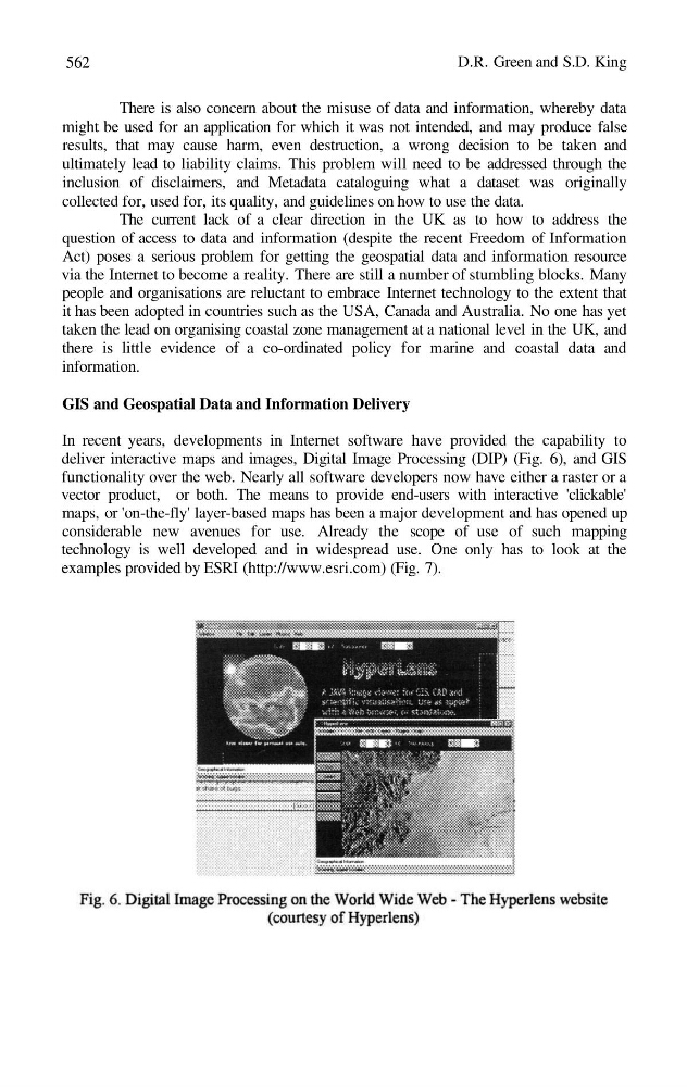
deliver interactive maps and images, Digital Image Processing (DIP) (Fig. 6), and GIS
functionality over the web. Nearly all software developers now have either a raster or a
vector product, or both. The means to provide end-users with interactive 'clickable'
maps, or 'on-the-fly' layer-based maps has been a major development and has opened up
considerable new avenues for use. Already the scope of use of such mapping
technology is well developed and in widespread use. One only has to look at the
examples provided by ESRI (http://www.esri.com) (Fig. 7).
D.R. Green and S.D. King
There is also concern about the misuse of data and information, whereby data
might be used for an application for which it was not intended, and may produce false
results, that may cause harm, even destruction, a wrong decision to be taken and
ultimately lead to liability claims. This problem will need to be addressed through the
inclusion of disclaimers, and Metadata cataloguing what a dataset was originally
collected for, used for, its quality, and guidelines on how to use the data.
The current lack of a clear direction in the UK as to how to address the
question of access to data and information (despite the recent Freedom of Information
Act) poses a serious problem for getting the geospatial data and information resource
via the Internet to become a reality. There are still a number of stumbling blocks. Many
people and organisations are reluctant to embrace Internet technology to the extent that
it has been adopted in countries such as the USA, Canada and Australia. No one has yet
taken the lead on organising coastal zone management at a national level in the UK, and
there is little evidence of a co-ordinated policy for marine and coastal data and
information.
GIS and Geospatial Data and Information Delivery
In recent years, developments in Internet software have provided the capability to
deliver interactive maps and images, Digital Image Processing (DIP) (Fig. 6), and GIS
functionality over the web. Nearly all software developers now have either a raster or a
vector product, or both. The means to provide end-users with interactive 'clickable'
maps, or 'on-the-fly' layer-based maps has been a major development and has opened up
considerable new avenues for use. Already the scope of use of such mapping
technology is well developed and in widespread use. One only has to look at the
examples provided by ESRI (http://www.esri.com) (Fig. 7).